Earthquake 53 km NW of Skwentna, Alaska
Sun, 22 Feb 2026 06:30:22 GMT
Time1 hour ago
Location
62.2730, -152.2350
Depth
120.6 KM
Event Summary
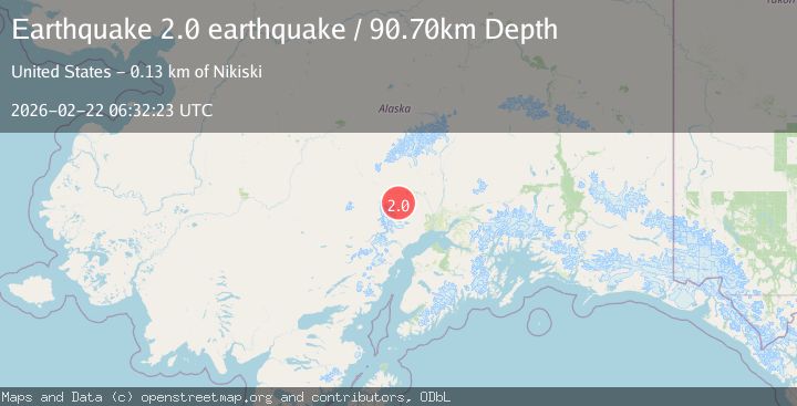
A 2.0 magnitude earthquake struck on 53 km NW of Skwentna, Alaska, at Sun, 22 Feb 2026 06:30:22 GMT. Depth: 120.6km. Reviewed by USGS seismologists, this minor quake occurred at a magnitude type of ml.
Magnitude
2.0
ml
Source
USGS
Intensity
-
Agency Reports
2 Sources| Source | Magnitude | Depth | Time |
|---|---|---|---|
| USGSPrimary | 1.9 | 121 km | 1 hour ago |
| VYT | 2.0 | 91 km | 1 hour ago |
Earthquake Details
AutomaticEvent IDusgs_aka2026dryrja
Tsunami PotentialNo
Magnitude Typeml
Nearest Places
- 17.2 km
- 17.8 km
- 19.8 km
- 21.8 km
- 22.8 km
Comments
Join the discussion about this event.
Latest Earthquakes
3.8Mag
Tarapaca, Chile
Time35 seconds ago
Depth67.87 km
SourceVYT (Automatic)
2.0Mag
Antofagasta, Chile
Time3 minutes ago
Depth144.17 km
SourceVYT (Automatic)
2.7Mag
Alaska Peninsula
Time8 minutes ago
Depth32.35 km
SourceVYT (Automatic)
2.2Mag
Minahassa Peninsula, Sulawesi
Time14 minutes ago
Depth164.43 km
SourceBMKG
5.8Mag
KURIL ISLANDS
Time17 minutes ago
Depth10.00 km
SourceGFZ (Automatic)
Nearby Earthquakes
2.2Mag
Central Alaska
Time1 week ago
Depth127.69 km
SourceVYT (Automatic)
3.0Mag
CENTRAL ALASKA
Time11 months ago
Depth114.40 km
SourceNEIC (Automatic)
3.3Mag
CENTRAL ALASKA
Time1 month ago
Depth111.40 km
SourceNEIC (Automatic)
3.0Mag
CENTRAL ALASKA
Time9 years ago
Depth104.00 km
SourceNEIC (Automatic)
3.0Mag
CENTRAL ALASKA
Time2 years ago
Depth105.10 km
SourceAK (Automatic)