Earthquake 76 km ESE of Egegik, Alaska
Sat, 28 Feb 2026 00:07:03 GMT
Time2 hours ago
Location
57.9560, -156.1730
Depth
16.3 KM
Event Summary
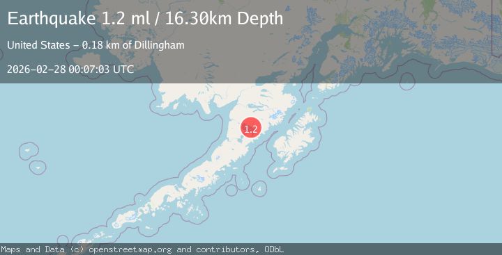
A 1.2 magnitude earthquake struck on 76 km ESE of Egegik, Alaska, at Sat, 28 Feb 2026 00:07:03 GMT. Depth: 16.3km. Reviewed by USGS seismologists, this minor quake occurred at a magnitude type of ml.
Magnitude
1.2
ml
Source
USGS
Intensity
-
Agency Reports
1 Sources| Source | Magnitude | Depth | Time |
|---|---|---|---|
| USGSPrimary | 1.2 | 16 km | 2 hours ago |
Earthquake Details
AutomaticEvent IDusgs_aka2026ecmjdi
Tsunami PotentialNo
Magnitude Typeml
Nearest Places
- 4.2 km
- 13.8 km
- 13.9 km
- 15.3 km
- 16.2 km
Comments
Join the discussion about this event.
Latest Earthquakes
1.1Mag
Southern Alaska
Time2 hours ago
Depth56.64 km
SourceVYT (Automatic)
2.0Mag
Finland-Russia border region
Time2 hours ago
Depth0.00 km
SourceVYT (Automatic)
2.2Mag
OKLAHOMA
Time2 hours ago
Depth5.70 km
SourceOK (Automatic)
1.8Mag
northern Alaska
Time2 hours ago
Depth0.12 km
SourceVYT (Automatic)
1.6Mag
Southeastern Alaska
Time2 hours ago
Depth12.70 km
SourceVYT (Automatic)
Nearby Earthquakes
2.3Mag
Alaska Peninsula
Time1 week ago
Depth113.04 km
SourceVYT (Automatic)
2.5Mag
Alaska Peninsula
Time1 week ago
Depth121.83 km
SourceVYT (Automatic)
3.0Mag
ALASKA PENINSULA
Time6 years ago
Depth130.00 km
SourceNEIC (Automatic)
3.0Mag
ALASKA PENINSULA
Time9 years ago
Depth133.00 km
SourceNEIR (Automatic)
3.0Mag
ALASKA PENINSULA
Time7 years ago
Depth124.00 km
SourceNEIR (Automatic)