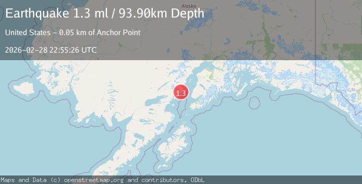
Earthquake 53 km WNW of Anchor Point, Alaska
Sat, 28 Feb 2026 22:55:26 GMT
Time4 hours ago
Location
59.9370, -152.7330
Depth
93.9 KM
Event Summary
A 1.3 magnitude earthquake struck on 53 km WNW of Anchor Point, Alaska, at Sat, 28 Feb 2026 22:55:26 GMT. Depth: 93.9km. Reviewed by USGS seismologists, this minor quake occurred at a magnitude type of ml.
Magnitude
1.3
ml
Source
USGS
Intensity
-
Agency Reports
1 Sources| Source | Magnitude | Depth | Time |
|---|---|---|---|
| USGSPrimary | 1.3 | 94 km | 4 hours ago |
Earthquake Details
AutomaticEvent IDusgs_aka2026eefshh
Tsunami PotentialNo
Magnitude Typeml
Nearest Places
- 3.5 km
- 5.5 km
- 5.8 km
- 6.5 km
- 6.8 km
Comments
Join the discussion about this event.
Latest Earthquakes
3.2Mag
South of Java, Indonesia
Time4 minutes ago
Depth5.00 km
SourceBMKG
1.1Mag
Southern Alaska
Time19 minutes ago
Depth0.00 km
SourceVYT (Automatic)
1.8Mag
Kenai Peninsula, Alaska
Time21 minutes ago
Depth8.18 km
SourceVYT (Automatic)
3.2Mag
West Papua, Indonesia
Time28 minutes ago
Depth9.00 km
SourceBMKG
1.1Mag
2 km W of Anderson Springs, CA
Time28 minutes ago
Depth1.97 km
SourceUSGS (Automatic)
Nearby Earthquakes
3.0Mag
SOUTHERN ALASKA
Time4 years ago
Depth93.00 km
SourceNEIC (Automatic)
3.0Mag
SOUTHERN ALASKA
Time1 year ago
Depth100.80 km
SourceNEIC (Automatic)
2.4Mag
SOUTHERN ALASKA
Time3 months ago
Depth91.60 km
SourceNEIC (Automatic)
2.9Mag
SOUTHERN ALASKA
Time1 month ago
Depth91.00 km
SourceNEIC (Automatic)
2.7Mag
52 km WNW of Anchor Point, Alaska
Time1 month ago
Depth101.30 km
SourceUSGS (Automatic)