Earthquake 43 km W of Tatitlek, Alaska
Tue, 03 Mar 2026 19:02:03 GMT
Time2 hours ago
Location
60.8030, -147.4690
Depth
70.2 KM
Event Summary
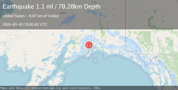
A 1.1 magnitude earthquake struck on 43 km W of Tatitlek, Alaska, at Tue, 03 Mar 2026 19:02:03 GMT. Depth: 70.2km. Reviewed by USGS seismologists, this minor quake occurred at a magnitude type of ml.
Magnitude
1.1
ml
Source
USGS
Intensity
-
Agency Reports
1 Sources| Source | Magnitude | Depth | Time |
|---|---|---|---|
| USGSPrimary | 1.1 | 70 km | 2 hours ago |
Earthquake Details
AutomaticEvent IDusgs_aka2026ejldvo
Tsunami PotentialNo
Magnitude Typeml
Nearest Places
- 4.6 km
- 6.3 km
- 7.9 km
- 8.8 km
- 8.8 km
Comments
Join the discussion about this event.
Latest Earthquakes
4.9Mag
Rat Islands, Aleutian Islands, Alaska
Time2 hours ago
Depth10.00 km
SourceVYT (Automatic)
2.0Mag
61 km NE of Tonopah, Nevada
Time2 hours ago
Depth8.89 km
SourceUSGS (Automatic)
1.4Mag
36 km NW of Toyah, Texas
Time2 hours ago
Depth6.15 km
SourceUSGS (Automatic)
3.9Mag
Banda Sea
Time2 hours ago
Depth374.15 km
SourceVYT (Automatic)
4.3Mag
Banda Sea
Time2 hours ago
Depth362.22 km
SourceBMKG
Nearby Earthquakes
2.1Mag
Southern Alaska
Time1 week ago
Depth27.59 km
SourceVYT (Automatic)
3.0Mag
SOUTHERN ALASKA
Time9 years ago
Depth35.00 km
SourceNEIR (Automatic)
1.3Mag
Southern Alaska
Time2 weeks ago
Depth24.05 km
SourceVYT (Automatic)
2.1Mag
Southern Alaska
Time2 weeks ago
Depth377.08 km
SourceVYT (Automatic)
3.0Mag
SOUTHERN ALASKA
Time5 years ago
Depth25.00 km
SourceNEIC (Automatic)