Earthquake 80 km NE of Koliganek, Alaska
Wed, 04 Mar 2026 00:52:40 GMT
Time1 month ago
Location
60.3010, -156.4080
Depth
5.0 KM
Event Summary
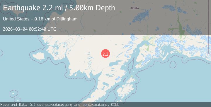
A 2.2 magnitude earthquake struck on 80 km NE of Koliganek, Alaska, at Wed, 04 Mar 2026 00:52:40 GMT. Depth: 5km. Reviewed by USGS seismologists, this minor quake occurred at a magnitude type of ml.
Magnitude
2.2
ml
Source
USGS
Intensity
-
Agency Reports
1 Sources| Source | Magnitude | Depth | Time |
|---|---|---|---|
| USGSPrimary | 2.2 | 5 km | 1 month ago |
Earthquake Details
AutomaticEvent IDusgs_aka2026ejwtzj
QualityS
Tsunami PotentialNo
Magnitude Typeml
Last Update1 month ago
Felt Reports0
Did you feel this earthquake? Report it to help others.
No reports yet
Be the first to report this earthquake!
Latest Earthquakes
Loading...
Nearby Earthquakes
3.5Mag
Southern Alaska
Time2 weeks ago
Depth259.77 km
SourceVYT (Automatic)
1.7Mag
Southern Alaska
Time3 weeks ago
Depth0.12 km
SourceVYT (Automatic)
1.8Mag
Southern Alaska
Time3 weeks ago
Depth0.00 km
SourceVYT (Automatic)
2.0Mag
Southern Alaska
Time3 weeks ago
Depth90.21 km
SourceVYT (Automatic)
0.0Mag
31 km W of Iliamna, Alaska
Time1 month ago
Depth11.90 km
SourceUSGS (Automatic)