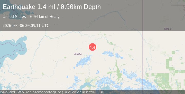
Earthquake 21 km W of Ferry, Alaska
Fri, 06 Mar 2026 20:05:11 GMT
Time11 hours ago
Location
64.0440, -149.5600
Depth
0.9 KM
Event Summary
A 1.4 magnitude earthquake struck on 21 km W of Ferry, Alaska, at Fri, 06 Mar 2026 20:05:11 GMT. Depth: 0.9km. Reviewed by USGS seismologists, this minor quake occurred at a magnitude type of ml.
Magnitude
1.4
ml
Source
USGS
Intensity
-
Agency Reports
1 Sources| Source | Magnitude | Depth | Time |
|---|---|---|---|
| USGSPrimary | 1.4 | 1 km | 11 hours ago |
Earthquake Details
AutomaticEvent IDusgs_aka2026epakwt
Tsunami PotentialNo
Magnitude Typeml
Nearest Places
- 14.4 km
- 14.7 km
- 16.2 km
- 16.2 km
- 18.5 km
Comments
Join the discussion about this event.
Latest Earthquakes
No recent earthquakes available
Nearby Earthquakes
1.9Mag
Central Alaska
Time4 hours ago
Depth0.12 km
SourceVYT (Automatic)
1.2Mag
Central Alaska
Time18 hours ago
Depth15.99 km
SourceVYT (Automatic)
1.5Mag
Central Alaska
Time19 hours ago
Depth6.84 km
SourceVYT (Automatic)
2.4Mag
Central Alaska
Time1 day ago
Depth14.89 km
SourceVYT (Automatic)
1.8Mag
Central Alaska
Time1 day ago
Depth76.29 km
SourceVYT (Automatic)