Earthquake 55 km WNW of Tatitlek, Alaska
Fri, 06 Mar 2026 20:53:30 GMT
Time12 hours ago
Location
61.0950, -147.5890
Depth
5.0 KM
Event Summary
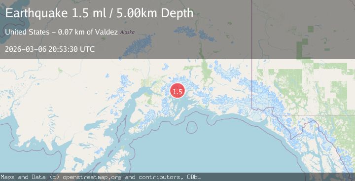
A 1.5 magnitude earthquake struck on 55 km WNW of Tatitlek, Alaska, at Fri, 06 Mar 2026 20:53:30 GMT. Depth: 5km. Reviewed by USGS seismologists, this minor quake occurred at a magnitude type of ml.
Magnitude
1.5
ml
Source
USGS
Intensity
-
Agency Reports
1 Sources| Source | Magnitude | Depth | Time |
|---|---|---|---|
| USGSPrimary | 1.5 | 5 km | 12 hours ago |
Earthquake Details
AutomaticEvent IDusgs_aka2026epcamz
QualityS
Tsunami PotentialNo
Magnitude Typeml
Last Update12 hours ago
Used Stations6
Nearest Places
- 4.6 km
- 6.0 km
- 6.6 km
- 7.4 km
- 7.6 km
Comments
Join the discussion about this event.
Latest Earthquakes
Loading...
Nearby Earthquakes
1.0Mag
Southern Alaska
Time3 hours ago
Depth10.00 km
SourceVYT (Automatic)
1.5Mag
Kenai Peninsula, Alaska
Time3 hours ago
Depth13.06 km
SourceVYT (Automatic)
1.6Mag
Southern Alaska
Time5 hours ago
Depth0.00 km
SourceVYT (Automatic)
1.2Mag
Southern Alaska
Time5 hours ago
Depth31.98 km
SourceVYT (Automatic)
1.3Mag
Southern Alaska
Time14 hours ago
Depth15.99 km
SourceVYT (Automatic)