Earthquake 60 km WNW of Nanwalek, Alaska
Fri, 13 Mar 2026 03:52:10 GMT
Time1 hour ago
Location
59.5630, -152.9160
Depth
110.7 KM
Event Summary
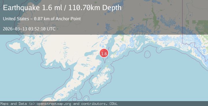
A 1.6 magnitude earthquake struck on 60 km WNW of Nanwalek, Alaska, at Fri, 13 Mar 2026 03:52:10 GMT. Depth: 110.7km. Reviewed by USGS seismologists, this minor quake occurred at a magnitude type of ml.
Magnitude
1.6
ml
Source
USGS
Intensity
-
Agency Reports
1 Sources| Source | Magnitude | Depth | Time |
|---|---|---|---|
| USGSPrimary | 1.6 | 111 km | 1 hour ago |
Earthquake Details
AutomaticEvent IDusgs_aka2026faqgou
QualityS
Tsunami PotentialNo
Magnitude Typeml
Last Update1 hour ago
Used Stations32
Nearest Places
- 65.4 km
- 77.4 km
- 77.4 km
- 93.1 km
- 126.7 km
Felt Reports0
Did you feel this earthquake? Report it to help others.
No reports yet
Be the first to report this earthquake!
Latest Earthquakes
Loading...
Nearby Earthquakes
1.9Mag
Kenai Peninsula, Alaska
Time2 hours ago
Depth31.98 km
SourceVYT (Automatic)
1.0Mag
Southern Alaska
Time3 hours ago
Depth1.59 km
SourceVYT (Automatic)
2.3Mag
Southern Alaska
Time4 hours ago
Depth120.24 km
SourceVYT (Automatic)
2.0Mag
Southern Alaska
Time7 hours ago
Depth107.91 km
SourceVYT (Automatic)
1.4Mag
Southern Alaska
Time11 hours ago
Depth80.81 km
SourceVYT (Automatic)