Earthquake 52 km SW of Tanana, Alaska
Fri, 13 Mar 2026 08:23:37 GMT
Time5 hours ago
Location
64.8570, -152.9170
Depth
1.6 KM
Event Summary
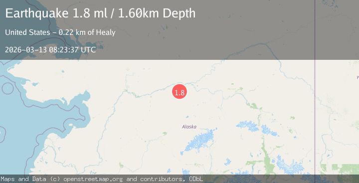
A 1.8 magnitude earthquake struck on 52 km SW of Tanana, Alaska, at Fri, 13 Mar 2026 08:23:37 GMT. Depth: 1.6km. Reviewed by USGS seismologists, this minor quake occurred at a magnitude type of ml.
Magnitude
1.8
ml
Source
USGS
Intensity
-
Agency Reports
1 Sources| Source | Magnitude | Depth | Time |
|---|---|---|---|
| USGSPrimary | 1.8 | 2 km | 5 hours ago |
Earthquake Details
AutomaticEvent IDusgs_aka2026fazgpb
QualityS
Tsunami PotentialNo
Magnitude Typeml
Last Update5 hours ago
Used Stations16
Nearest Places
- 220.2 km
- 231.6 km
- 241.6 km
- 245.7 km
- 246.3 km
Felt Reports0
Did you feel this earthquake? Report it to help others.
No reports yet
Be the first to report this earthquake!
Latest Earthquakes
Loading...
Nearby Earthquakes
1.1Mag
northern Alaska
Time9 hours ago
Depth0.00 km
SourceVYT (Automatic)
0.7Mag
northern Alaska
Time1 day ago
Depth17.33 km
SourceVYT (Automatic)
1.7Mag
northern Alaska
Time2 days ago
Depth0.00 km
SourceVYT (Automatic)
1.5Mag
64 km SSW of Manley Hot Springs, Alaska
Time3 days ago
Depth4.60 km
SourceUSGS (Automatic)
1.4Mag
43 km ENE of Tanana, Alaska
Time4 days ago
Depth5.00 km
SourceUSGS (Automatic)