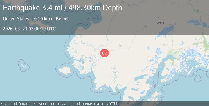
Earthquake 13 km SSW of Lower Kalskag, Alaska
Mon, 23 Mar 2026 03:30:19 GMT
Time1 month ago
Location
61.3950, -160.4110
Depth
498.3 KM
Event Summary
A 3.4 magnitude earthquake struck on 13 km SSW of Lower Kalskag, Alaska, at Mon, 23 Mar 2026 03:30:19 GMT. Depth: 498.3km. Reviewed by USGS seismologists, this minor quake occurred at a magnitude type of ml.
Magnitude
3.4
ml
Source
USGS
Intensity
-
Agency Reports
1 Sources| Source | Magnitude | Depth | Time |
|---|---|---|---|
| USGSPrimary | 3.4 | 498 km | 1 month ago |
Earthquake Details
AutomaticEvent IDusgs_aka2026fsyuwp
QualityS
Tsunami PotentialNo
Magnitude Typeml
Last Update1 month ago
Used Stations12
Felt Reports0
Did you feel this earthquake? Report it to help others.
No reports yet
Be the first to report this earthquake!
Latest Earthquakes
Loading...
Nearby Earthquakes
1.7Mag
Southern Alaska
Time4 days ago
Depth2.81 km
SourceVYT (Automatic)
2.1Mag
Central Alaska
Time2 weeks ago
Depth620.12 km
SourceVYT (Automatic)
1.8Mag
Southern Alaska
Time3 weeks ago
Depth94.73 km
SourceVYT (Automatic)
2.4Mag
18 km S of Lower Kalskag, Alaska
Time3 weeks ago
Depth393.30 km
SourceUSGS (Automatic)
1.7Mag
65 km S of Chuathbaluk, Alaska
Time3 weeks ago
Depth200.90 km
SourceUSGS (Automatic)