Earthquake 57 km WNW of Nikiski, Alaska
Mon, 13 Apr 2026 07:35:32 GMT
Time2 weeks ago
Location
60.9030, -152.2600
Depth
111.8 KM
Event Summary
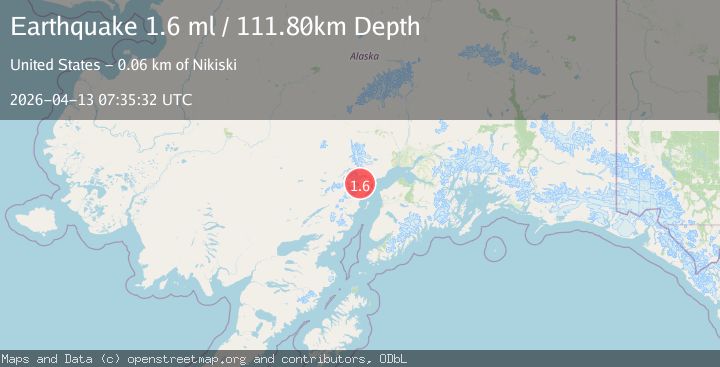
A 1.6 magnitude earthquake struck on 57 km WNW of Nikiski, Alaska, at Mon, 13 Apr 2026 07:35:32 GMT. Depth: 111.8km. Reviewed by USGS seismologists, this minor quake occurred at a magnitude type of ml.
Magnitude
1.6
ml
Source
USGS
Intensity
-
Agency Reports
1 Sources| Source | Magnitude | Depth | Time |
|---|---|---|---|
| USGSPrimary | 1.6 | 112 km | 2 weeks ago |
Earthquake Details
AutomaticEvent IDusgs_aka2026hfvegi
QualityS
Tsunami PotentialNo
Magnitude Typeml
Last Update2 weeks ago
Used Stations33
Felt Reports0
Did you feel this earthquake? Report it to help others.
No reports yet
Be the first to report this earthquake!
Latest Earthquakes
Loading...
Nearby Earthquakes
0.6Mag
76 km WNW of Tyonek, Alaska
Time8 hours ago
Depth32.90 km
SourceUSGS (Automatic)
3.0Mag
SOUTHERN ALASKA
Time22 hours ago
Depth98.30 km
SourceAK (Automatic)
1.3Mag
16 km WNW of Tyonek, Alaska
Time1 day ago
Depth74.50 km
SourceUSGS (Automatic)
0.9Mag
47 km W of Tyonek, Alaska
Time1 day ago
Depth94.80 km
SourceUSGS (Automatic)
2.3Mag
Kenai Peninsula, Alaska
Time2 days ago
Depth93.87 km
SourceVYT (Automatic)