Earthquake 12 km E of Igiugig, Alaska
Mon, 13 Apr 2026 08:33:24 GMT
Time2 weeks ago
Location
59.3070, -155.6700
Depth
1.2 KM
Event Summary
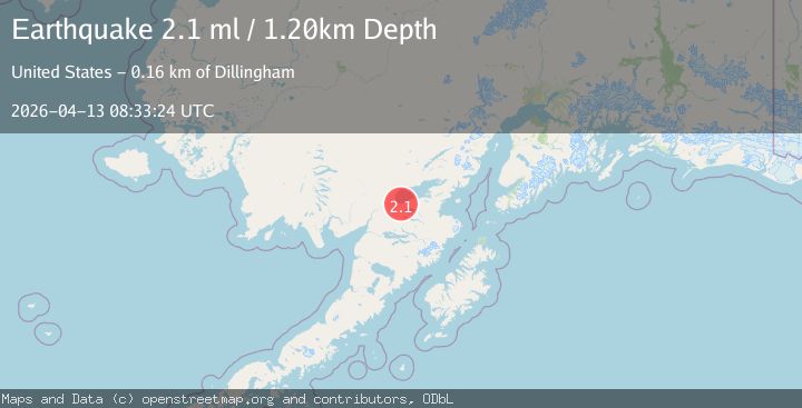
A 2.1 magnitude earthquake struck on 12 km E of Igiugig, Alaska, at Mon, 13 Apr 2026 08:33:24 GMT. Depth: 1.2km. Reviewed by USGS seismologists, this minor quake occurred at a magnitude type of ml.
Magnitude
2.1
ml
Source
USGS
Intensity
-
Agency Reports
1 Sources| Source | Magnitude | Depth | Time |
|---|---|---|---|
| USGSPrimary | 2.1 | 1 km | 2 weeks ago |
Earthquake Details
AutomaticEvent IDusgs_aka2026hfxcfa
QualityS
Tsunami PotentialNo
Magnitude Typeml
Last Update2 weeks ago
Used Stations32
Felt Reports0
Did you feel this earthquake? Report it to help others.
No reports yet
Be the first to report this earthquake!
Latest Earthquakes
Loading...
Nearby Earthquakes
2.9Mag
Alaska Peninsula
Time2 days ago
Depth102.66 km
SourceVYT (Automatic)
3.0Mag
Alaska Peninsula
Time6 days ago
Depth156.86 km
SourceVYT (Automatic)
1.8Mag
13 km NE of Pope-Vannoy Landing, Alaska
Time1 week ago
Depth51.00 km
SourceUSGS (Automatic)
1.8Mag
Southern Alaska
Time2 weeks ago
Depth26.98 km
SourceVYT (Automatic)
1.5Mag
84 km S of Kokhanok, Alaska
Time2 weeks ago
Depth3.60 km
SourceUSGS (Automatic)