Earthquake 31 km NNE of Paxson, Alaska
Mon, 13 Apr 2026 11:21:04 GMT
Time2 weeks ago
Location
63.3320, -145.2730
Depth
12.0 KM
Event Summary
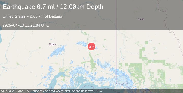
A 0.7 magnitude earthquake struck on 31 km NNE of Paxson, Alaska, at Mon, 13 Apr 2026 11:21:04 GMT. Depth: 12km. Reviewed by USGS seismologists, this minor quake occurred at a magnitude type of ml.
Magnitude
0.7
ml
Source
USGS
Intensity
-
Agency Reports
1 Sources| Source | Magnitude | Depth | Time |
|---|---|---|---|
| USGSPrimary | 0.7 | 12 km | 2 weeks ago |
Earthquake Details
AutomaticEvent IDusgs_aka2026hgcqrg
QualityS
Tsunami PotentialNo
Magnitude Typeml
Last Update2 weeks ago
Used Stations8
Felt Reports0
Did you feel this earthquake? Report it to help others.
No reports yet
Be the first to report this earthquake!
Latest Earthquakes
Loading...
Nearby Earthquakes
2.0Mag
Central Alaska
Time2 days ago
Depth0.12 km
SourceVYT (Automatic)
1.3Mag
29 km N of Paxson, Alaska
Time3 days ago
Depth5.00 km
SourceUSGS (Automatic)
1.5Mag
34 km SSW of Dry Creek, Alaska
Time1 week ago
Depth5.00 km
SourceUSGS (Automatic)
1.6Mag
14 km WSW of Fort Greely, Alaska
Time1 week ago
Depth2.90 km
SourceUSGS (Automatic)
2.3Mag
11 km WSW of Fort Greely, Alaska
Time1 week ago
Depth3.60 km
SourceUSGS (Automatic)