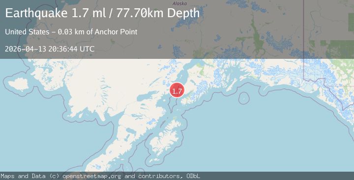
Earthquake 26 km WNW of Anchor Point, Alaska
Mon, 13 Apr 2026 20:36:44 GMT
Time2 weeks ago
Location
59.8280, -152.2850
Depth
77.7 KM
Event Summary
A 1.7 magnitude earthquake struck on 26 km WNW of Anchor Point, Alaska, at Mon, 13 Apr 2026 20:36:44 GMT. Depth: 77.7km. Reviewed by USGS seismologists, this minor quake occurred at a magnitude type of ml.
Magnitude
1.7
ml
Source
USGS
Intensity
-
Agency Reports
1 Sources| Source | Magnitude | Depth | Time |
|---|---|---|---|
| USGSPrimary | 1.7 | 78 km | 2 weeks ago |
Earthquake Details
AutomaticEvent IDusgs_aka2026hgvbmz
QualityS
Tsunami PotentialNo
Magnitude Typeml
Last Update2 weeks ago
Used Stations39
Felt Reports0
Did you feel this earthquake? Report it to help others.
No reports yet
Be the first to report this earthquake!
Latest Earthquakes
Loading...
Nearby Earthquakes
1.8Mag
9 km SSW of Homer, Alaska
Time4 hours ago
Depth52.80 km
SourceUSGS (Automatic)
1.9Mag
60 km E of Port Alsworth, Alaska
Time6 hours ago
Depth151.20 km
SourceUSGS (Automatic)
2.3Mag
33 km E of Pedro Bay, Alaska
Time8 hours ago
Depth139.20 km
SourceUSGS (Automatic)
3.0Mag
SOUTHERN ALASKA
Time16 hours ago
Depth98.30 km
SourceAK (Automatic)
1.6Mag
1 km ENE of Anchor Point, Alaska
Time23 hours ago
Depth70.00 km
SourceUSGS (Automatic)