Earthquake 143 km W of Anaktuvuk Pass, Alaska
Tue, 14 Apr 2026 18:49:07 GMT
Time3 months ago
Location
68.1670, -155.1920
Depth
5.0 KM
Event Summary
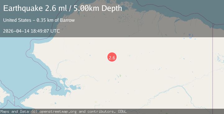
A 2.6 magnitude earthquake struck on 143 km W of Anaktuvuk Pass, Alaska, at Tue, 14 Apr 2026 18:49:07 GMT. Depth: 5km. Reviewed by USGS seismologists, this minor quake occurred at a magnitude type of ml.
Magnitude
2.6
ml
Source
USGS
Intensity
-
Agency Reports
2 Sources| Source | Magnitude | Depth | Time |
|---|---|---|---|
| USGSPrimary | 2.6 | 5 km | 3 months ago |
| NEIC | 2.7 | 10 km | 3 months ago+1s |
Earthquake Details
AutomaticEvent IDusgs_aka2026hinfqg
QualityS
Tsunami PotentialNo
Magnitude Typeml
Last Update3 months ago
Used Stations32
Felt Reports0
Did you feel this earthquake? Report it to help others.
No reports yet
Be the first to report this earthquake!
Latest Earthquakes
Loading...
Nearby Earthquakes
2.2Mag
78 km NNE of Kobuk, Alaska
Time3 weeks ago
Depth5.00 km
SourceUSGS (Automatic)
1.8Mag
northern Alaska
Time2 months ago
Depth0.00 km
SourceVYT (Automatic)
2.8Mag
northern Alaska
Time2 months ago
Depth34.30 km
SourceVYT (Automatic)
2.2Mag
northern Alaska
Time2 months ago
Depth362.67 km
SourceVYT (Automatic)
1.8Mag
northern Alaska
Time3 months ago
Depth0.00 km
SourceVYT (Automatic)