Earthquake 51 km W of Tatitlek, Alaska
Thu, 16 Apr 2026 04:01:04 GMT
Time3 days ago
Location
60.9240, -147.6150
Depth
29.9 KM
Event Summary
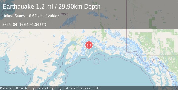
A 1.2 magnitude earthquake struck on 51 km W of Tatitlek, Alaska, at Thu, 16 Apr 2026 04:01:04 GMT. Depth: 29.9km. Reviewed by USGS seismologists, this minor quake occurred at a magnitude type of ml.
Magnitude
1.2
ml
Source
USGS
Intensity
-
Agency Reports
1 Sources| Source | Magnitude | Depth | Time |
|---|---|---|---|
| USGSPrimary | 1.2 | 30 km | 3 days ago |
Earthquake Details
AutomaticEvent IDusgs_aka2026hlbgdw
QualityS
Tsunami PotentialNo
Magnitude Typeml
Last Update3 days ago
Used Stations7
Felt Reports0
Did you feel this earthquake? Report it to help others.
No reports yet
Be the first to report this earthquake!
Latest Earthquakes
Loading...
Nearby Earthquakes
1.0Mag
16 km NE of Girdwood, Alaska
Time1 hour ago
Depth22.90 km
SourceUSGS (Automatic)
1.8Mag
35 km SSE of Whittier, Alaska
Time5 hours ago
Depth2.50 km
SourceUSGS (Automatic)
1.1Mag
62 km S of Glacier View, Alaska
Time10 hours ago
Depth5.00 km
SourceUSGS (Automatic)
1.1Mag
65 km ESE of Knik River, Alaska
Time12 hours ago
Depth29.10 km
SourceUSGS (Automatic)
1.2Mag
65 km S of Glacier View, Alaska
Time15 hours ago
Depth19.10 km
SourceUSGS (Automatic)