Earthquake 54 km WSW of Ferry, Alaska
Thu, 16 Apr 2026 05:31:30 GMT
Time2 weeks ago
Location
63.8630, -150.1800
Depth
1.5 KM
Event Summary
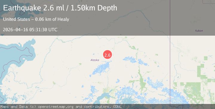
A 2.6 magnitude earthquake struck on 54 km WSW of Ferry, Alaska, at Thu, 16 Apr 2026 05:31:30 GMT. Depth: 1.5km. Reviewed by USGS seismologists, this minor quake occurred at a magnitude type of ml.
Magnitude
2.6
ml
Source
USGS
Intensity
-
Agency Reports
1 Sources| Source | Magnitude | Depth | Time |
|---|---|---|---|
| USGSPrimary | 2.6 | 2 km | 2 weeks ago |
Earthquake Details
AutomaticEvent IDusgs_aka2026hlegcj
QualityS
Tsunami PotentialNo
Magnitude Typeml
Last Update2 weeks ago
Used Stations77
Felt Reports0
Did you feel this earthquake? Report it to help others.
No reports yet
Be the first to report this earthquake!
Latest Earthquakes
Loading...
Nearby Earthquakes
1.6Mag
34 km W of Denali Park, Alaska
Time10 hours ago
Depth126.30 km
SourceUSGS (Automatic)
1.4Mag
Central Alaska
Time12 hours ago
Depth2.08 km
SourceVYT (Automatic)
2.5Mag
Central Alaska
Time1 day ago
Depth10.00 km
SourceVYT (Automatic)
1.3Mag
Central Alaska
Time1 day ago
Depth63.11 km
SourceVYT (Automatic)
2.9Mag
Central Alaska
Time1 day ago
Depth110.72 km
SourceVYT