Earthquake 15 km WSW of Point MacKenzie, Alaska
Thu, 16 Apr 2026 09:56:46 GMT
Time1 week ago
Location
61.2870, -150.2310
Depth
31.6 KM
Event Summary
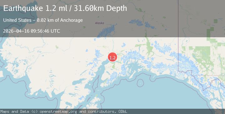
A 1.2 magnitude earthquake struck on 15 km WSW of Point MacKenzie, Alaska, at Thu, 16 Apr 2026 09:56:46 GMT. Depth: 31.6km. Reviewed by USGS seismologists, this minor quake occurred at a magnitude type of ml.
Magnitude
1.2
ml
Source
USGS
Intensity
-
Agency Reports
1 Sources| Source | Magnitude | Depth | Time |
|---|---|---|---|
| USGSPrimary | 1.2 | 32 km | 1 week ago |
Earthquake Details
AutomaticEvent IDusgs_aka2026hlnaom
QualityS
Tsunami PotentialNo
Magnitude Typeml
Last Update1 week ago
Used Stations25
Felt Reports0
Did you feel this earthquake? Report it to help others.
No reports yet
Be the first to report this earthquake!
Latest Earthquakes
Loading...
Nearby Earthquakes
2.1Mag
Southern Alaska
Time9 hours ago
Depth50.42 km
SourceVYT (Automatic)
2.2Mag
Central Alaska
Time9 hours ago
Depth13.43 km
SourceVYT (Automatic)
1.5Mag
35 km SW of Trapper Creek, Alaska
Time18 hours ago
Depth10.30 km
SourceUSGS (Automatic)
1.3Mag
16 km WNW of Tyonek, Alaska
Time18 hours ago
Depth74.50 km
SourceUSGS (Automatic)
1.7Mag
Southern Alaska
Time20 hours ago
Depth22.09 km
SourceVYT (Automatic)