Earthquake 70 km WNW of Paxson, Alaska
Thu, 16 Apr 2026 14:02:53 GMT
Time3 days ago
Location
63.2960, -146.9300
Depth
0.2 KM
Event Summary
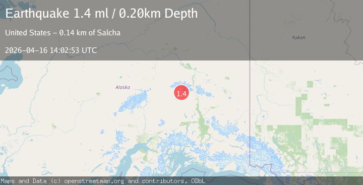
A 1.4 magnitude earthquake struck on 70 km WNW of Paxson, Alaska, at Thu, 16 Apr 2026 14:02:53 GMT. Depth: 0.2km. Reviewed by USGS seismologists, this minor quake occurred at a magnitude type of ml.
Magnitude
1.4
ml
Source
USGS
Intensity
-
Agency Reports
1 Sources| Source | Magnitude | Depth | Time |
|---|---|---|---|
| USGSPrimary | 1.4 | 0 km | 3 days ago |
Earthquake Details
AutomaticEvent IDusgs_aka2026hlvetm
QualityS
Tsunami PotentialNo
Magnitude Typeml
Last Update3 days ago
Used Stations27
Felt Reports0
Did you feel this earthquake? Report it to help others.
No reports yet
Be the first to report this earthquake!
Latest Earthquakes
Loading...
Nearby Earthquakes
1.3Mag
67 km ESE of Cantwell, Alaska
Time1 hour ago
Depth9.50 km
SourceUSGS (Automatic)
1.1Mag
37 km ENE of Cantwell, Alaska
Time8 hours ago
Depth5.00 km
SourceUSGS (Automatic)
1.0Mag
13 km ENE of Cantwell, Alaska
Time15 hours ago
Depth15.30 km
SourceUSGS (Automatic)
1.2Mag
29 km SE of Denali Park, Alaska
Time1 day ago
Depth6.30 km
SourceUSGS (Automatic)
2.3Mag
69 km ESE of Denali Park, Alaska
Time1 day ago
Depth75.00 km
SourceUSGS (Automatic)