Earthquake 48 km W of Tatitlek, Alaska
Thu, 16 Apr 2026 22:20:21 GMT
Time2 days ago
Location
60.9420, -147.5510
Depth
31.8 KM
Event Summary
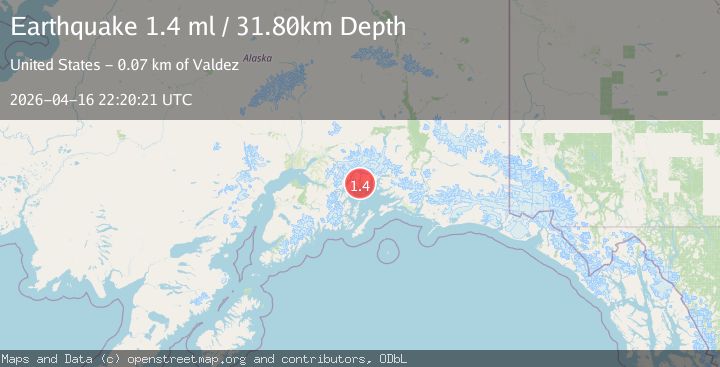
A 1.4 magnitude earthquake struck on 48 km W of Tatitlek, Alaska, at Thu, 16 Apr 2026 22:20:21 GMT. Depth: 31.8km. Reviewed by USGS seismologists, this minor quake occurred at a magnitude type of ml.
Magnitude
1.4
ml
Source
USGS
Intensity
-
Agency Reports
1 Sources| Source | Magnitude | Depth | Time |
|---|---|---|---|
| USGSPrimary | 1.4 | 32 km | 2 days ago |
Earthquake Details
AutomaticEvent IDusgs_aka2026hmlrld
QualityS
Tsunami PotentialNo
Magnitude Typeml
Last Update2 days ago
Used Stations7
Felt Reports0
Did you feel this earthquake? Report it to help others.
No reports yet
Be the first to report this earthquake!
Latest Earthquakes
Loading...
Nearby Earthquakes
1.8Mag
40 km WNW of Valdez, Alaska
Time21 hours ago
Depth3.00 km
SourceUSGS (Automatic)
1.5Mag
6 km WNW of Girdwood, Alaska
Time22 hours ago
Depth26.30 km
SourceUSGS (Automatic)
2.5Mag
45 km E of Chenega, Alaska
Time1 day ago
Depth18.00 km
SourceUSGS (Automatic)
2.2Mag
45 km E of Chenega, Alaska
Time1 day ago
Depth18.10 km
SourceUSGS
1.0Mag
61 km NE of Whittier, Alaska
Time2 days ago
Depth38.10 km
SourceUSGS (Automatic)