Earthquake 47 km WSW of Aleneva, Alaska
Fri, 17 Apr 2026 00:37:00 GMT
Time2 days ago
Location
57.9560, -153.6850
Depth
36.8 KM
Event Summary
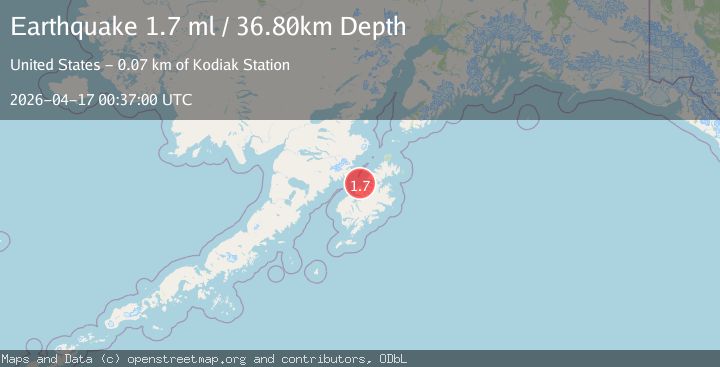
A 1.7 magnitude earthquake struck on 47 km WSW of Aleneva, Alaska, at Fri, 17 Apr 2026 00:37:00 GMT. Depth: 36.8km. Reviewed by USGS seismologists, this minor quake occurred at a magnitude type of ml.
Magnitude
1.7
ml
Source
USGS
Intensity
-
Agency Reports
1 Sources| Source | Magnitude | Depth | Time |
|---|---|---|---|
| USGSPrimary | 1.7 | 37 km | 2 days ago |
Earthquake Details
AutomaticEvent IDusgs_aka2026hmqfeg
QualityS
Tsunami PotentialNo
Magnitude Typeml
Last Update2 days ago
Used Stations24
Felt Reports0
Did you feel this earthquake? Report it to help others.
No reports yet
Be the first to report this earthquake!
Latest Earthquakes
Loading...
Nearby Earthquakes
0.5Mag
86 km NNW of Karluk, Alaska
Time29 minutes ago
Depth5.00 km
SourceUSGS (Automatic)
0.6Mag
78 km NW of Karluk, Alaska
Time4 hours ago
Depth5.00 km
SourceUSGS (Automatic)
2.9Mag
34 km SSW of Karluk, Alaska
Time11 hours ago
Depth53.00 km
SourceUSGS (Automatic)
0.9Mag
83 km SSE of Kokhanok, Alaska
Time17 hours ago
Depth116.00 km
SourceUSGS (Automatic)
1.4Mag
29 km NNW of Karluk, Alaska
Time1 day ago
Depth66.90 km
SourceUSGS (Automatic)