Earthquake 56 km NNW of Petersville, Alaska
Fri, 17 Apr 2026 03:48:41 GMT
Time2 days ago
Location
62.9400, -151.3120
Depth
109.3 KM
Event Summary
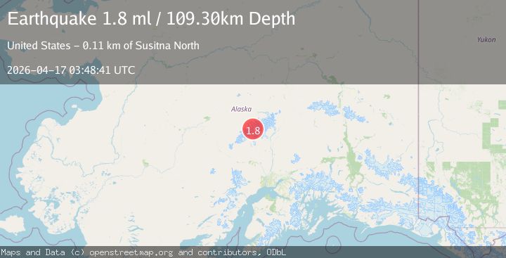
A 1.8 magnitude earthquake struck on 56 km NNW of Petersville, Alaska, at Fri, 17 Apr 2026 03:48:41 GMT. Depth: 109.3km. Reviewed by USGS seismologists, this minor quake occurred at a magnitude type of ml.
Magnitude
1.8
ml
Source
USGS
Intensity
-
Agency Reports
1 Sources| Source | Magnitude | Depth | Time |
|---|---|---|---|
| USGSPrimary | 1.8 | 109 km | 2 days ago |
Earthquake Details
AutomaticEvent IDusgs_aka2026hmwojg
QualityS
Tsunami PotentialNo
Magnitude Typeml
Last Update2 days ago
Used Stations34
Felt Reports0
Did you feel this earthquake? Report it to help others.
No reports yet
Be the first to report this earthquake!
Latest Earthquakes
Loading...
Nearby Earthquakes
1.4Mag
19 km N of Chase, Alaska
Time11 hours ago
Depth10.40 km
SourceUSGS (Automatic)
1.1Mag
21 km NE of Chase, Alaska
Time19 hours ago
Depth17.90 km
SourceUSGS (Automatic)
1.7Mag
25 km SW of Trapper Creek, Alaska
Time19 hours ago
Depth0.30 km
SourceUSGS (Automatic)
2.6Mag
37 km E of Denali National Park, Alaska
Time22 hours ago
Depth1.10 km
SourceUSGS (Automatic)
0.9Mag
13 km WNW of Chase, Alaska
Time1 day ago
Depth71.30 km
SourceUSGS (Automatic)