Earthquake 95 km SE of Ugashik, Alaska
Fri, 17 Apr 2026 07:12:02 GMT
Time2 days ago
Location
56.9650, -156.1720
Depth
65.0 KM
Event Summary
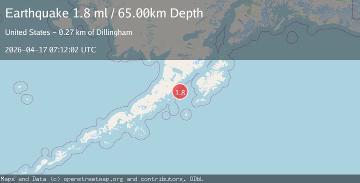
A 1.8 magnitude earthquake struck on 95 km SE of Ugashik, Alaska, at Fri, 17 Apr 2026 07:12:02 GMT. Depth: 65km. Reviewed by USGS seismologists, this minor quake occurred at a magnitude type of ml.
Magnitude
1.8
ml
Source
USGS
Intensity
-
Agency Reports
1 Sources| Source | Magnitude | Depth | Time |
|---|---|---|---|
| USGSPrimary | 1.8 | 65 km | 2 days ago |
Earthquake Details
AutomaticEvent IDusgs_aka2026hndhpp
QualityS
Tsunami PotentialNo
Magnitude Typeml
Last Update2 days ago
Used Stations36
Felt Reports0
Did you feel this earthquake? Report it to help others.
No reports yet
Be the first to report this earthquake!
Latest Earthquakes
Loading...
Nearby Earthquakes
2.9Mag
34 km SSW of Karluk, Alaska
Time15 hours ago
Depth53.00 km
SourceUSGS (Automatic)
3.9Mag
ALASKA PENINSULA
Time20 hours ago
Depth80.40 km
SourceAK (Automatic)
1.9Mag
64 km W of Akhiok, Alaska
Time1 day ago
Depth2.70 km
SourceUSGS (Automatic)
1.9Mag
62 km W of Akhiok, Alaska
Time1 day ago
Depth12.00 km
SourceUSGS (Automatic)
3.1Mag
ALASKA PENINSULA
Time2 days ago
Depth23.40 km
SourceAK (Automatic)