Earthquake 41 km WSW of Anchor Point, Alaska
Fri, 17 Apr 2026 10:45:44 GMT
Time2 days ago
Location
59.6960, -152.5580
Depth
79.1 KM
Event Summary
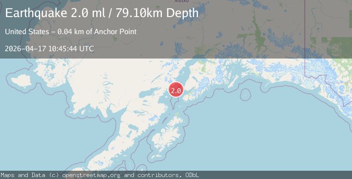
A 2.0 magnitude earthquake struck on 41 km WSW of Anchor Point, Alaska, at Fri, 17 Apr 2026 10:45:44 GMT. Depth: 79.1km. Reviewed by USGS seismologists, this minor quake occurred at a magnitude type of ml.
Magnitude
2.0
ml
Source
USGS
Intensity
-
Agency Reports
1 Sources| Source | Magnitude | Depth | Time |
|---|---|---|---|
| USGSPrimary | 2.0 | 79 km | 2 days ago |
Earthquake Details
AutomaticEvent IDusgs_aka2026hnkjtc
QualityS
Tsunami PotentialNo
Magnitude Typeml
Last Update2 days ago
Used Stations45
Felt Reports0
Did you feel this earthquake? Report it to help others.
No reports yet
Be the first to report this earthquake!
Latest Earthquakes
Loading...
Nearby Earthquakes
1.1Mag
62 km E of Pedro Bay, Alaska
Time13 hours ago
Depth105.40 km
SourceUSGS (Automatic)
1.8Mag
45 km NW of Ninilchik, Alaska
Time14 hours ago
Depth81.10 km
SourceUSGS (Automatic)
1.5Mag
40 km W of Happy Valley, Alaska
Time21 hours ago
Depth82.90 km
SourceUSGS (Automatic)
1.6Mag
37 km W of Happy Valley, Alaska
Time22 hours ago
Depth85.60 km
SourceUSGS (Automatic)
3.5Mag
SOUTHERN ALASKA
Time1 day ago
Depth101.00 km
SourceAK (Automatic)