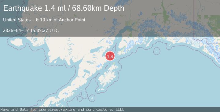
Earthquake 69 km WSW of Nanwalek, Alaska
Fri, 17 Apr 2026 15:05:27 GMT
Time1 day ago
Location
59.0860, -153.0180
Depth
68.6 KM
Event Summary
A 1.4 magnitude earthquake struck on 69 km WSW of Nanwalek, Alaska, at Fri, 17 Apr 2026 15:05:27 GMT. Depth: 68.6km. Reviewed by USGS seismologists, this minor quake occurred at a magnitude type of ml.
Magnitude
1.4
ml
Source
USGS
Intensity
-
Agency Reports
1 Sources| Source | Magnitude | Depth | Time |
|---|---|---|---|
| USGSPrimary | 1.4 | 69 km | 1 day ago |
Earthquake Details
AutomaticEvent IDusgs_aka2026hnszkf
QualityS
Tsunami PotentialNo
Magnitude Typeml
Last Update1 day ago
Used Stations32
Felt Reports0
Did you feel this earthquake? Report it to help others.
No reports yet
Be the first to report this earthquake!
Latest Earthquakes
Loading...
Nearby Earthquakes
1.1Mag
62 km E of Pedro Bay, Alaska
Time13 hours ago
Depth105.40 km
SourceUSGS (Automatic)
0.9Mag
83 km SSE of Kokhanok, Alaska
Time17 hours ago
Depth116.00 km
SourceUSGS (Automatic)
1.7Mag
61 km WNW of Anchor Point, Alaska
Time1 day ago
Depth121.30 km
SourceUSGS (Automatic)
1.9Mag
50 km NNE of Aleneva, Alaska
Time1 day ago
Depth55.20 km
SourceUSGS (Automatic)
1.9Mag
42 km S of Port Graham, Alaska
Time1 day ago
Depth49.00 km
SourceUSGS (Automatic)