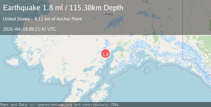
Earthquake 69 km W of Salamatof, Alaska
Sat, 18 Apr 2026 09:21:42 GMT
Time1 day ago
Location
60.7320, -152.5660
Depth
115.3 KM
Event Summary
A 1.8 magnitude earthquake struck on 69 km W of Salamatof, Alaska, at Sat, 18 Apr 2026 09:21:42 GMT. Depth: 115.3km. Reviewed by USGS seismologists, this minor quake occurred at a magnitude type of ml.
Magnitude
1.8
ml
Source
USGS
Intensity
-
Agency Reports
1 Sources| Source | Magnitude | Depth | Time |
|---|---|---|---|
| USGSPrimary | 1.8 | 115 km | 1 day ago |
Earthquake Details
AutomaticEvent IDusgs_aka2026hpdidu
QualityS
Tsunami PotentialNo
Magnitude Typeml
Last Update1 day ago
Used Stations33
Felt Reports0
Did you feel this earthquake? Report it to help others.
No reports yet
Be the first to report this earthquake!
Latest Earthquakes
Loading...
Nearby Earthquakes
1.3Mag
24 km W of Tyonek, Alaska
Time1 hour ago
Depth80.00 km
SourceUSGS (Automatic)
1.3Mag
52 km WNW of Happy Valley, Alaska
Time2 hours ago
Depth100.40 km
SourceUSGS (Automatic)
2.0Mag
25 km NW of Ninilchik, Alaska
Time3 hours ago
Depth76.10 km
SourceUSGS
1.6Mag
69 km W of Tyonek, Alaska
Time11 hours ago
Depth119.90 km
SourceUSGS (Automatic)
1.8Mag
45 km NW of Ninilchik, Alaska
Time13 hours ago
Depth81.10 km
SourceUSGS (Automatic)