Earthquake 19 km W of Point MacKenzie, Alaska
Sat, 18 Apr 2026 19:09:06 GMT
Time15 hours ago
Location
61.3560, -150.3490
Depth
31.7 KM
Event Summary
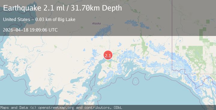
A 2.1 magnitude earthquake struck on 19 km W of Point MacKenzie, Alaska, at Sat, 18 Apr 2026 19:09:06 GMT. Depth: 31.7km. Reviewed by USGS seismologists, this minor quake occurred at a magnitude type of ml.
Magnitude
2.1
ml
Source
USGS
Intensity
-
Agency Reports
1 Sources| Source | Magnitude | Depth | Time |
|---|---|---|---|
| USGSPrimary | 2.1 | 32 km | 15 hours ago |
Earthquake Details
AutomaticEvent IDusgs_aka2026hpwujz
QualityS
Tsunami PotentialNo
Magnitude Typeml
Last Update15 hours ago
Used Stations58
Felt Reports0
Did you feel this earthquake? Report it to help others.
No reports yet
Be the first to report this earthquake!
Latest Earthquakes
Loading...
Nearby Earthquakes
1.6Mag
21 km N of Susitna, Alaska
Time19 hours ago
Depth60.30 km
SourceUSGS (Automatic)
1.5Mag
6 km WNW of Girdwood, Alaska
Time20 hours ago
Depth26.30 km
SourceUSGS (Automatic)
1.9Mag
13 km W of Tyonek, Alaska
Time22 hours ago
Depth88.50 km
SourceUSGS (Automatic)
1.4Mag
31 km NNW of Susitna, Alaska
Time1 day ago
Depth54.70 km
SourceUSGS (Automatic)
0.6Mag
67 km WNW of Beluga, Alaska
Time1 day ago
Depth5.00 km
SourceUSGS (Automatic)