Earthquake 12 km N of Nanwalek, Alaska
Mon, 20 Apr 2026 17:04:58 GMT
Time16 hours ago
Location
59.4690, -151.9450
Depth
54.3 KM
Event Summary
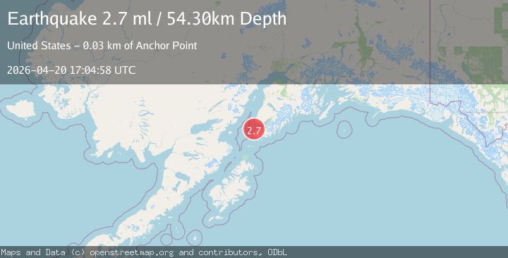
A 2.7 magnitude earthquake struck on 12 km N of Nanwalek, Alaska, at Mon, 20 Apr 2026 17:04:58 GMT. Depth: 54.3km. Reviewed by USGS seismologists, this minor quake occurred at a magnitude type of ml.
Magnitude
2.7
ml
Source
USGS
Intensity
-
Agency Reports
2 Sources| Source | Magnitude | Depth | Time |
|---|---|---|---|
| USGSPrimary | 2.7 | 54 km | 16 hours ago |
| NEIC | 2.7 | 56 km | 16 hours ago |
Earthquake Details
AutomaticEvent IDusgs_aka2026htkddq
QualityS
Tsunami PotentialNo
Magnitude Typeml
Last Update16 hours ago
Used Stations62
Felt Reports0
Did you feel this earthquake? Report it to help others.
No reports yet
Be the first to report this earthquake!
Latest Earthquakes
Loading...
Nearby Earthquakes
1.6Mag
17 km ESE of Ninilchik, Alaska
Time2 days ago
Depth48.60 km
SourceUSGS (Automatic)
1.3Mag
52 km WNW of Happy Valley, Alaska
Time2 days ago
Depth100.40 km
SourceUSGS (Automatic)
2.0Mag
25 km NW of Ninilchik, Alaska
Time2 days ago
Depth76.10 km
SourceUSGS
1.1Mag
62 km E of Pedro Bay, Alaska
Time2 days ago
Depth105.40 km
SourceUSGS (Automatic)
1.5Mag
40 km W of Happy Valley, Alaska
Time2 days ago
Depth82.90 km
SourceUSGS (Automatic)