Earthquake 7 km W of Karluk, Alaska
Mon, 20 Apr 2026 22:50:43 GMT
Time13 hours ago
Location
57.5780, -154.5760
Depth
59.3 KM
Event Summary
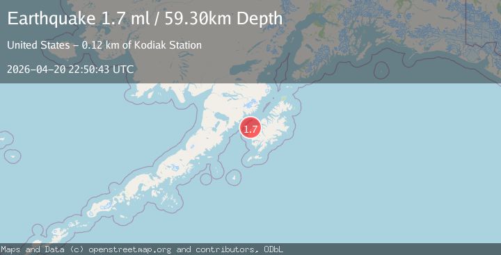
A 1.7 magnitude earthquake struck on 7 km W of Karluk, Alaska, at Mon, 20 Apr 2026 22:50:43 GMT. Depth: 59.3km. Reviewed by USGS seismologists, this minor quake occurred at a magnitude type of ml.
Magnitude
1.7
ml
Source
USGS
Intensity
-
Agency Reports
1 Sources| Source | Magnitude | Depth | Time |
|---|---|---|---|
| USGSPrimary | 1.7 | 59 km | 13 hours ago |
Earthquake Details
AutomaticEvent IDusgs_aka2026htvpdc
QualityS
Tsunami PotentialNo
Magnitude Typeml
Last Update13 hours ago
Used Stations23
Felt Reports0
Did you feel this earthquake? Report it to help others.
No reports yet
Be the first to report this earthquake!
Latest Earthquakes
Loading...
Nearby Earthquakes
0.9Mag
79 km NNW of Karluk, Alaska
Time14 hours ago
Depth10.00 km
SourceUSGS (Automatic)
1.9Mag
52 km SW of Karluk, Alaska
Time14 hours ago
Depth79.80 km
SourceUSGS (Automatic)
2.8Mag
87 km WSW of Karluk, Alaska
Time18 hours ago
Depth71.10 km
SourceUSGS (Automatic)
2.9Mag
26 km NNE of Karluk, Alaska
Time20 hours ago
Depth61.50 km
SourceUSGS (Automatic)
0.9Mag
89 km SE of King Salmon, Alaska
Time21 hours ago
Depth5.00 km
SourceUSGS (Automatic)