Earthquake 88 km E of Ugashik, Alaska
Wed, 29 Apr 2026 03:43:32 GMT
Time17 hours ago
Location
57.6140, -155.9380
Depth
12.8 KM
Event Summary
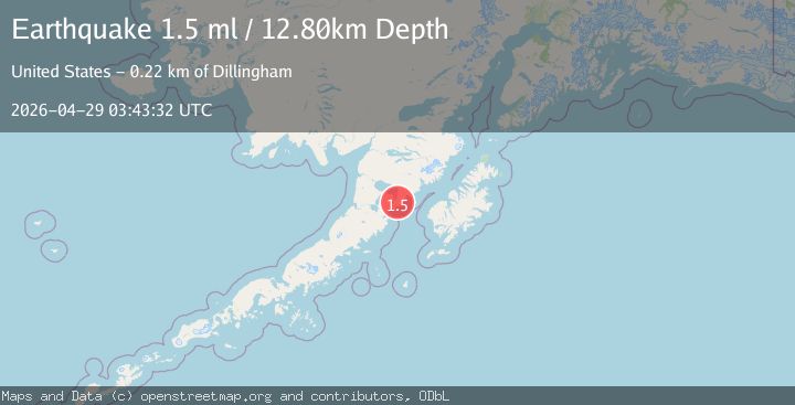
A 1.5 magnitude earthquake struck on 88 km E of Ugashik, Alaska, at Wed, 29 Apr 2026 03:43:32 GMT. Depth: 12.8km. Reviewed by USGS seismologists, this minor quake occurred at a magnitude type of ml.
Magnitude
1.5
ml
Source
USGS
Intensity
-
Agency Reports
1 Sources| Source | Magnitude | Depth | Time |
|---|---|---|---|
| USGSPrimary | 1.5 | 13 km | 17 hours ago |
Earthquake Details
AutomaticEvent IDusgs_aka2026iixcmv
QualityS
Tsunami PotentialNo
Magnitude Typeml
Last Update17 hours ago
Used Stations14
Felt Reports0
Did you feel this earthquake? Report it to help others.
No reports yet
Be the first to report this earthquake!
Latest Earthquakes
Loading...
Nearby Earthquakes
0.7Mag
85 km NNW of Karluk, Alaska
Time19 hours ago
Depth5.00 km
SourceUSGS (Automatic)
2.8Mag
85 km W of Akhiok, Alaska
Time1 day ago
Depth68.70 km
SourceUSGS (Automatic)
1.1Mag
85 km NW of Karluk, Alaska
Time2 days ago
Depth2.30 km
SourceUSGS (Automatic)
1.5Mag
40 km WNW of Karluk, Alaska
Time2 days ago
Depth81.30 km
SourceUSGS (Automatic)
2.3Mag
62 km WSW of Karluk, Alaska
Time3 days ago
Depth5.00 km
SourceUSGS (Automatic)