Earthquake 17 km NW of Tatitlek, Alaska
Wed, 29 Apr 2026 11:07:00 GMT
Time7 hours ago
Location
60.9720, -146.9180
Depth
18.7 KM
Event Summary
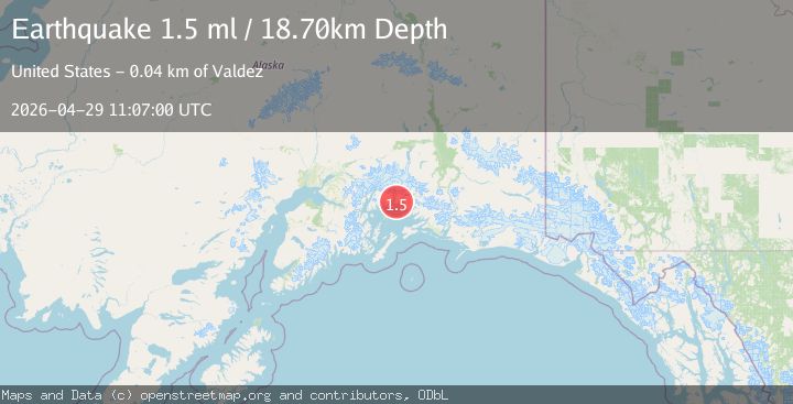
A 1.5 magnitude earthquake struck on 17 km NW of Tatitlek, Alaska, at Wed, 29 Apr 2026 11:07:00 GMT. Depth: 18.7km. Reviewed by USGS seismologists, this minor quake occurred at a magnitude type of ml.
Magnitude
1.5
ml
Source
USGS
Intensity
-
Agency Reports
2 Sources| Source | Magnitude | Depth | Time |
|---|---|---|---|
| USGSPrimary | 1.5 | 19 km | 7 hours ago |
| VYT | 1.7 | 21 km | 7 hours ago |
Earthquake Details
AutomaticEvent IDusgs_aka2026ijltuf
QualityS
Tsunami PotentialNo
Magnitude Typeml
Last Update7 hours ago
Used Stations31
Total Stations14
Felt Reports0
Did you feel this earthquake? Report it to help others.
No reports yet
Be the first to report this earthquake!
Latest Earthquakes
Loading...
Nearby Earthquakes
1.3Mag
49 km ESE of Whittier, Alaska
Time7 hours ago
Depth17.90 km
SourceUSGS (Automatic)
3.4Mag
Southern Alaska
Time9 hours ago
Depth1.71 km
SourceVYT (Automatic)
1.4Mag
Southern Alaska
Time9 hours ago
Depth25.02 km
SourceVYT (Automatic)
1.2Mag
Southern Alaska
Time11 hours ago
Depth1.34 km
SourceVYT (Automatic)
1.6Mag
Southern Alaska
Time12 hours ago
Depth21.48 km
SourceVYT (Automatic)