Earthquake 88 km N of Yakutat, Alaska
Mon, 05 Jan 2026 11:48:29 GMT
Time4 days ago
Location
60.3380, -139.6980
Depth
1.0 KM
Event Summary
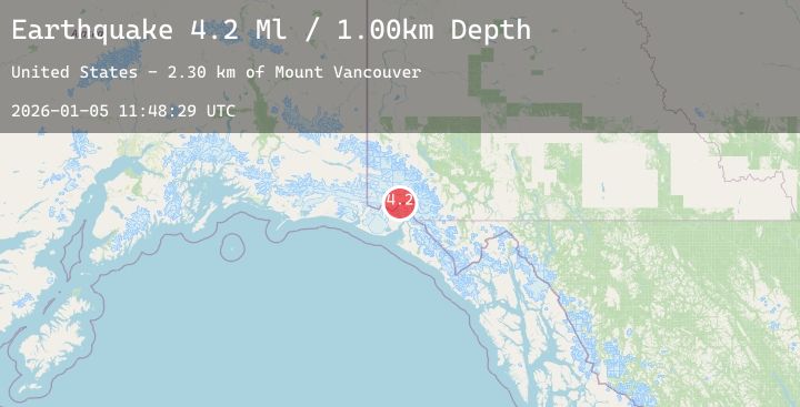
A 4.2 magnitude earthquake struck on 88 km N of Yakutat, Alaska, at Mon, 05 Jan 2026 11:48:29 GMT. Depth: 1km. Reviewed by USGS seismologists, this light quake occurred at a magnitude type of Ml.
Magnitude
4.2
Ml
Source
USGS
Intensity
-
Agency Reports
1 Sources| Source | Magnitude | Depth | Time |
|---|---|---|---|
| USGSPrimary | 4.2 | 1 km | 4 days ago |
Earthquake Details
ConfirmedEvent IDusgs_at00t8e3gt
Tsunami PotentialNo
Magnitude TypeMl
Nearest Places
- Mount Vancouver2.3 km
- Hubbard Glacier17.6 km
- Valerie Glacier17.6 km
- Hubbard Glacier18.2 km
- Saint Elias Mountains18.6 km
Comments
Join the discussion about this event.
Latest Earthquakes
1.7Mag
6 km NNW of Meadow Lakes, Alaska
Time4 days ago
Depth34.50 km
SourceUSGS (Automatic)
2.3Mag
17 km NNE of Nikiski, Alaska
Time4 days ago
Depth57.20 km
SourceUSGS (Automatic)
2.1Mag
55 km SSE of Whites City, New Mexico
Time4 days ago
Depth4.70 km
SourceUSGS (Automatic)
2.0Mag
EASTERN TURKEY
Time4 days ago
Depth11.20 km
SourceKOERI (Automatic)
2.2Mag
CENTRAL ITALY
Time4 days ago
Depth23.40 km
SourceINGV (Automatic)