Earthquake 16 km N of Ocotillo Wells, CA
Fri, 14 Feb 2025 00:30:37 GMT
Time10 months ago
Location
33.2913, -116.1342
Depth
3.7 KM
Event Summary
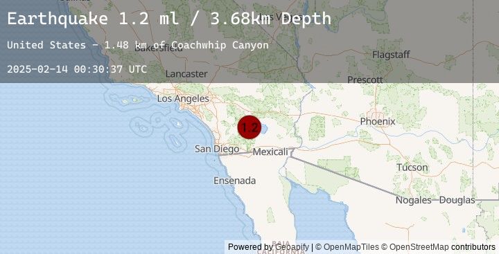
A 1.2 magnitude earthquake struck on 16 km N of Ocotillo Wells, CA, at Fri, 14 Feb 2025 00:30:37 GMT. Depth: 3.68km. Reviewed by USGS seismologists, this minor quake occurred at a magnitude type of ml.
Magnitude
1.2
ml
Source
USGS
Intensity
-
Earthquake Details
AutomaticEvent IDusgs_ci40185794
Tsunami PotentialNo
Magnitude Typeml
Nearest Places
- Coachwhip Canyon1.5 km
- Truckhaven Rocks Campground1.5 km
- Smoke Tree Canyon2.1 km
- Calcite Mine2.4 km
- Calcite Road2.6 km
Comments
Join the discussion about this event.
Latest Earthquakes
2.4Mag
Southern Molucca Sea
Time7 minutes ago
Depth28.48 km
SourceBMKG (Automatic)
2.2Mag
Northern Molucca Sea
Time8 minutes ago
Depth2.95 km
SourceBMKG (Automatic)
1.5Mag
14 km W of Johannesburg, CA
Time8 minutes ago
Depth1.67 km
SourceUSGS (Automatic)
3.0Mag
NICARAGUA
Time10 minutes ago
Depth5.00 km
SourceEMSC (Automatic)
2.2Mag
11 km NW of Point MacKenzie, Alaska
Time13 minutes ago
Depth28.50 km
SourceUSGS (Automatic)
Nearby Earthquakes
0.5Mag
10 km SSW of Anza, CA
Time1 hour ago
Depth10.48 km
SourceUSGS (Automatic)
1.0Mag
6 km SSW of Idyllwild, CA
Time2 hours ago
Depth15.88 km
SourceUSGS (Automatic)
1.0Mag
17 km SSW of Ocotillo Wells, CA
Time2 hours ago
Depth4.84 km
SourceUSGS (Automatic)
0.3Mag
15 km N of Warner Springs, CA
Time4 hours ago
Depth6.70 km
SourceUSGS (Automatic)
0.2Mag
3 km ESE of Lake Henshaw, CA
Time7 hours ago
Depth11.97 km
SourceUSGS (Automatic)