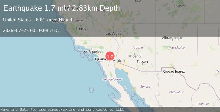
Earthquake 10 km SW of Niland, CA
Sat, 25 Jul 2026 00:10:08 GMT
Time3 months ago
Location
33.1818, -115.6015
Depth
2.8 KM
Event Summary
A 1.7 magnitude earthquake struck on 10 km SW of Niland, CA, at Sat, 25 Jul 2026 00:10:08 GMT. Depth: 2.82999992370605km. Reviewed by USGS seismologists, this minor quake occurred at a magnitude type of ml.
Magnitude
1.7
ml
Source
USGS
Intensity
I
Agency Reports
1 Sources| Source | Magnitude | Depth | Time |
|---|---|---|---|
| USGSPrimary | 1.4 | 3 km | 3 months ago |
Earthquake Details
AutomaticEvent IDusgs_ci40660922
QualityS
Tsunami PotentialNo
Magnitude Typeml
Last Update3 months ago
Used Stations34
Nearest Places
Possibly felt by: 545
- 10.1 km1K people
- 10.3 km7.4K people
Felt Reports0
Did you feel this earthquake? Report it to help others.
No reports yet
Be the first to report this earthquake!
Latest Earthquakes
Loading...
Nearby Earthquakes
1.0Mag
5 km WNW of Borrego Springs, CA
Time2 hours ago
Depth7.16 km
SourceUSGS (Automatic)
2.0Mag
5 km WNW of Borrego Springs, CA
Time2 hours ago
Depth6.36 km
SourceUSGS (Automatic)
1.2Mag
10 km NNE of Borrego Springs, CA
Time20 hours ago
Depth11.20 km
SourceUSGS (Automatic)
1.6Mag
22 km N of Borrego Springs, CA
Time22 hours ago
Depth9.46 km
SourceUSGS (Automatic)
1.6Mag
5 km NNE of Delta, B.C., MX
Time1 day ago
Depth14.93 km
SourceUSGS (Automatic)