Earthquake 13 km NE of Yucaipa, CA
Sat, 20 Dec 2025 14:01:34 GMT
Time5 hours ago
Location
34.1040, -116.9353
Depth
7.0 KM
Event Summary
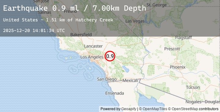
A 0.9 magnitude earthquake struck on 13 km NE of Yucaipa, CA, at Sat, 20 Dec 2025 14:01:34 GMT. Depth: 7km. Reviewed by USGS seismologists, this minor quake occurred at a magnitude type of ml.
Magnitude
0.9
ml
Source
USGS
Intensity
-
Earthquake Details
AutomaticEvent IDusgs_ci41143759
Tsunami PotentialNo
Magnitude Typeml
Nearest Places
- Hatchery Creek1.5 km
- Bridal Veil Creek1.6 km
- Oak Creek1.6 km
- Momyer Creek1.7 km
- Akers Camp (historical)1.7 km
Comments
Join the discussion about this event.
Latest Earthquakes
1.6Mag
65 km E of Port Alsworth, Alaska
Time30 minutes ago
Depth142.00 km
SourceUSGS (Automatic)
3.1Mag
CENTRAL TURKEY
Time31 minutes ago
Depth7.00 km
SourceEMSC (Automatic)
2.3Mag
West Papua Region, Indonesia
Time34 minutes ago
Depth14.31 km
SourceBMKG (Automatic)
1.1Mag
10 km WSW of Stanton, Texas
Time39 minutes ago
Depth3.17 km
SourceUSGS (Automatic)
2.0Mag
West Papua Region, Indonesia
Time45 minutes ago
Depth9.17 km
SourceBMKG (Automatic)
Nearby Earthquakes
1.0Mag
16 km N of Borrego Springs, CA
Time3 hours ago
Depth8.73 km
SourceUSGS (Automatic)
0.7Mag
8 km NW of Lake Henshaw, CA
Time4 hours ago
Depth13.83 km
SourceUSGS (Automatic)
0.7Mag
4 km SSE of Redlands, CA
Time4 hours ago
Depth10.03 km
SourceUSGS (Automatic)
0.2Mag
6 km NNE of Lake Henshaw, CA
Time5 hours ago
Depth7.75 km
SourceUSGS (Automatic)
1.6Mag
5 km SSW of Redlands, CA
Time9 hours ago
Depth11.22 km
SourceUSGS (Automatic)