Earthquake 2 km NNW of Banning, CA
Sat, 27 Dec 2025 16:21:33 GMT
Time2 hours ago
Location
33.9393, -116.8832
Depth
4.6 KM
Event Summary
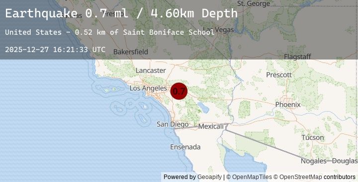
A 0.7 magnitude earthquake struck on 2 km NNW of Banning, CA, at Sat, 27 Dec 2025 16:21:33 GMT. Depth: 4.6km. Reviewed by USGS seismologists, this minor quake occurred at a magnitude type of ml.
Magnitude
0.7
ml
Source
USGS
Intensity
-
Earthquake Details
AutomaticEvent IDusgs_ci41147783
Tsunami PotentialNo
Magnitude Typeml
Nearest Places
- Saint Boniface School0.5 km
- San Gorgonio Memorial Park0.9 km
- Susan B Coombs Intermediate School0.9 km
- Repplier Park1.0 km
- Calvary Chapel of the Pass1.0 km
Comments
Join the discussion about this event.
Latest Earthquakes
3.3Mag
WESTERN TURKEY
Time6 minutes ago
Depth6.50 km
SourceEMSC (Automatic)
3.6Mag
Timor Region
Time10 minutes ago
Depth56.57 km
SourceBMKG (Automatic)
2.7Mag
IONIAN SEA
Time14 minutes ago
Depth18.70 km
SourceEMSC (Automatic)
2.3Mag
Flores Sea
Time17 minutes ago
Depth31.02 km
SourceBMKG (Automatic)
3.4Mag
West Papua Region, Indonesia
Time37 minutes ago
Depth10.00 km
SourceBMKG (Automatic)
Nearby Earthquakes
1.1Mag
7 km SSE of Idyllwild, CA
Time1 hour ago
Depth16.44 km
SourceUSGS (Automatic)
0.6Mag
5 km NW of Anza, CA
Time1 hour ago
Depth11.97 km
SourceUSGS (Automatic)
2.2Mag
SOUTHERN CALIFORNIA
Time1 hour ago
Depth2.10 km
SourceEMSC (Automatic)
2.2Mag
15 km WSW of Ludlow, CA
Time1 hour ago
Depth2.09 km
SourceUSGS (Automatic)
0.9Mag
6 km ESE of Valle Vista, CA
Time1 hour ago
Depth16.46 km
SourceUSGS (Automatic)