Earthquake 10 km NNE of Banning, CA
Wed, 31 Dec 2025 14:47:22 GMT
Time4 hours ago
Location
34.0045, -116.8298
Depth
19.2 KM
Event Summary
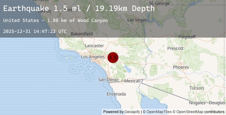
A 1.5 magnitude earthquake struck on 10 km NNE of Banning, CA, at Wed, 31 Dec 2025 14:47:22 GMT. Depth: 19.1900005340576km. Reviewed by USGS seismologists, this minor quake occurred at a magnitude type of ml.
Magnitude
1.5
ml
Source
USGS
Intensity
-
Earthquake Details
AutomaticEvent IDusgs_ci41150151
Tsunami PotentialNo
Magnitude Typeml
Nearest Places
- Wood Canyon1.8 km
- Burro Flats2.0 km
- Corral Canyon3.2 km
- West Branch Hathaway Creek3.7 km
- Raywood Flat Trail3.8 km
Comments
Join the discussion about this event.
Latest Earthquakes
2.4Mag
Java, Indonesia
Time3 hours ago
Depth72.36 km
SourceBMKG (Automatic)
1.0Mag
20 km ESE of Little Lake, CA
Time4 hours ago
Depth8.16 km
SourceUSGS (Automatic)
1.0Mag
12 km WSW of Stanton, Texas
Time4 hours ago
Depth3.97 km
SourceUSGS (Automatic)
3.9Mag
NEAR EAST COAST OF HONSHU, JAPAN
Time4 hours ago
Depth50.00 km
SourceEMSC (Automatic)
1.6Mag
16 km NW of Balmorhea, Texas
Time4 hours ago
Depth9.04 km
SourceUSGS (Automatic)
Nearby Earthquakes
0.3Mag
15 km SE of Anza, CA
Time4 hours ago
Depth10.54 km
SourceUSGS (Automatic)
0.3Mag
15 km SE of Anza, CA
Time4 hours ago
Depth10.93 km
SourceUSGS (Automatic)
1.6Mag
6 km E of Calimesa, CA
Time4 hours ago
Depth18.07 km
SourceUSGS (Automatic)
0.2Mag
16 km SSW of La Quinta, CA
Time6 hours ago
Depth5.16 km
SourceUSGS (Automatic)
0.7Mag
7 km WSW of Palm Springs, CA
Time7 hours ago
Depth14.26 km
SourceUSGS (Automatic)