Earthquake 12 km SSW of Agua Dulce, CA
Sun, 04 Jan 2026 05:48:06 GMT
Time4 days ago
Location
34.3930, -118.3530
Depth
7.9 KM
Event Summary
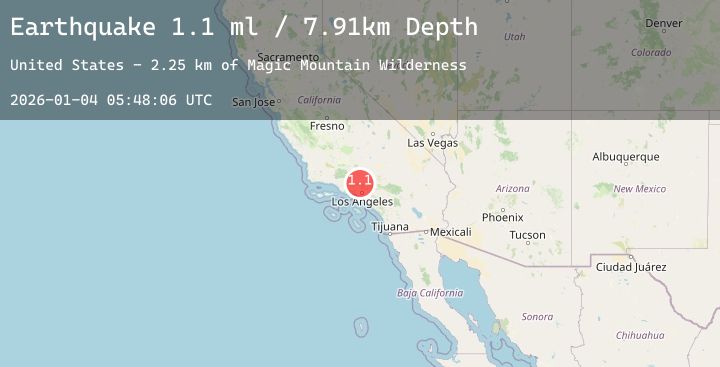
A 1.1 magnitude earthquake struck on 12 km SSW of Agua Dulce, CA, at Sun, 04 Jan 2026 05:48:06 GMT. Depth: 7.91km. Reviewed by USGS seismologists, this minor quake occurred at a magnitude type of ml.
Magnitude
1.1
ml
Source
USGS
Intensity
-
Agency Reports
1 Sources| Source | Magnitude | Depth | Time |
|---|---|---|---|
| USGSPrimary | 1.1 | 8 km | 4 days ago |
Earthquake Details
AutomaticEvent IDusgs_ci41151959
Tsunami PotentialNo
Magnitude Typeml
Nearest Places
- Magic Mountain Wilderness1.7 km
- Magic Mountain2.3 km
- Nike Site LA-98C (historical)2.5 km
- Dagger Flat Trail3.2 km
- Bear Canyon3.8 km
Comments
Join the discussion about this event.
Latest Earthquakes
1.0Mag
103 km SE of McCarthy, Alaska
Time4 days ago
Depth14.90 km
SourceUSGS (Automatic)
2.9Mag
Southern Sumatra, Indonesia
Time4 days ago
Depth9.57 km
SourceBMKG (Automatic)
1.1Mag
6 km NW of The Geysers, CA
Time4 days ago
Depth2.83 km
SourceUSGS (Automatic)
1.6Mag
STRAIT OF GIBRALTAR
Time4 days ago
Depth0.00 km
SourceIGN (Automatic)
4.5Mag
Halmahera, Indonesia
Time4 days ago
Depth209.27 km
SourceBMKG (Automatic)