Earthquake 14 km NE of Ridgecrest, CA
Sat, 10 Jan 2026 00:35:23 GMT
Time2 days ago
Location
35.7142, -117.5767
Depth
3.4 KM
Event Summary
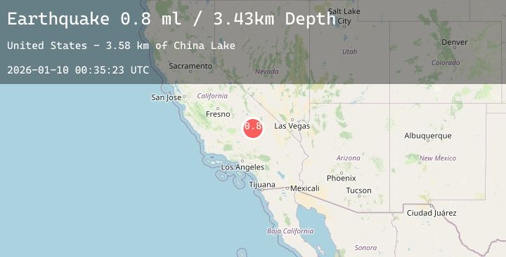
A 0.8 magnitude earthquake struck on 14 km NE of Ridgecrest, CA, at Sat, 10 Jan 2026 00:35:23 GMT. Depth: 3.43km. Reviewed by USGS seismologists, this minor quake occurred at a magnitude type of ml.
Magnitude
0.8
ml
Source
USGS
Intensity
-
Agency Reports
1 Sources| Source | Magnitude | Depth | Time |
|---|---|---|---|
| USGSPrimary | 0.8 | 3 km | 2 days ago |
Earthquake Details
AutomaticEvent IDusgs_ci41154983
Tsunami PotentialNo
Magnitude Typeml
Nearest Places
- China Lake3.6 km
- Lark Seep4.7 km
- Lone Butte5.7 km
- Trona Water Pipeline5.8 km
- Skytop7.2 km
Comments
Join the discussion about this event.
Latest Earthquakes
2.2Mag
FRANCE
Time10 hours ago
Depth0.00 km
SourceReNaSS (Automatic)
0.2Mag
8 km NW of The Geysers, CA
Time10 hours ago
Depth1.49 km
SourceUSGS (Automatic)
2.1Mag
WESTERN TURKEY
Time10 hours ago
Depth5.40 km
SourceKOERI (Automatic)
3.0Mag
West Papua, Indonesia
Time10 hours ago
Depth10.00 km
SourceBMKG (Automatic)
3.5Mag
Sulawesi, Indonesia
Time10 hours ago
Depth6.00 km
SourceBMKG (Automatic)
Nearby Earthquakes
1.9Mag
20 km E of Little Lake, CA
Time13 hours ago
Depth1.46 km
SourceUSGS (Automatic)
0.8Mag
14 km ENE of Ridgecrest, CA
Time20 hours ago
Depth4.42 km
SourceUSGS (Automatic)
2.9Mag
CENTRAL CALIFORNIA
Time23 hours ago
Depth4.00 km
SourceSCSN (Automatic)
1.8Mag
16 km W of Searles Valley, CA
Time1 day ago
Depth3.42 km
SourceUSGS (Automatic)
0.8Mag
18 km E of Little Lake, CA
Time1 day ago
Depth6.55 km
SourceUSGS (Automatic)