Earthquake 8 km SW of Niland, CA
Sun, 11 Jan 2026 12:47:18 GMT
Time21 hours ago
Location
33.1963, -115.5912
Depth
2.8 KM
Event Summary
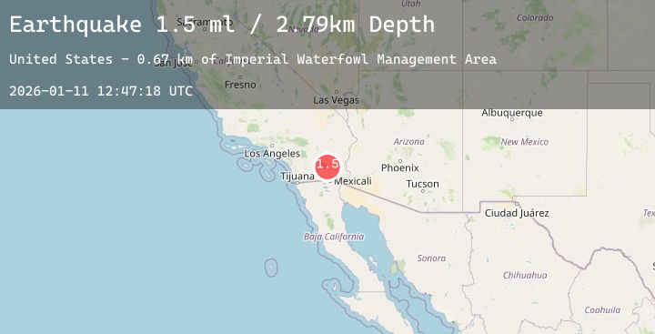
A 1.5 magnitude earthquake struck on 8 km SW of Niland, CA, at Sun, 11 Jan 2026 12:47:18 GMT. Depth: 2.79km. Reviewed by USGS seismologists, this minor quake occurred at a magnitude type of ml.
Magnitude
1.5
ml
Source
USGS
Intensity
-
Agency Reports
1 Sources| Source | Magnitude | Depth | Time |
|---|---|---|---|
| USGSPrimary | 1.5 | 3 km | 21 hours ago |
Earthquake Details
AutomaticEvent IDusgs_ci41155551
Tsunami PotentialNo
Magnitude Typeml
Nearest Places
- Imperial Waterfowl Management Area0.7 km
- Southend Sportsman Club1.0 km
- Hazard Headquarters1.4 km
- Red Island1.8 km
- Red Hill1.9 km
Comments
Join the discussion about this event.
Latest Earthquakes
4.1Mag
Banda Sea
Time17 hours ago
Depth91.02 km
SourceBMKG (Automatic)
2.0Mag
19 km NNE of Hamilton Branch, CA
Time17 hours ago
Depth12.33 km
SourceUSGS (Automatic)
2.3Mag
Bali Region, Indonesia
Time17 hours ago
Depth23.49 km
SourceBMKG (Automatic)
1.0Mag
FRANCE
Time17 hours ago
Depth2.80 km
SourceETHZ (Automatic)
2.6Mag
Java, Indonesia
Time17 hours ago
Depth19.13 km
SourceBMKG (Automatic)
Nearby Earthquakes
0.8Mag
23 km SW of Ocotillo Wells, CA
Time23 hours ago
Depth7.46 km
SourceUSGS (Automatic)
2.6Mag
SOUTHERN CALIFORNIA
Time1 day ago
Depth9.40 km
SourceSCSN (Automatic)
1.6Mag
9 km W of Calipatria, CA
Time1 day ago
Depth7.43 km
SourceUSGS (Automatic)
1.1Mag
17 km NE of Pine Valley, CA
Time1 day ago
Depth5.01 km
SourceUSGS (Automatic)
1.2Mag
3 km E of Borrego Springs, CA
Time1 day ago
Depth3.73 km
SourceUSGS (Automatic)