Earthquake 16 km W of Coronado, CA
Thu, 15 Jan 2026 19:37:19 GMT
Time1 hour ago
Location
32.6785, -117.3510
Depth
13.2 KM
Event Summary
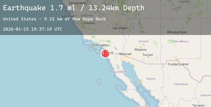
A 1.7 magnitude earthquake struck on 16 km W of Coronado, CA, at Thu, 15 Jan 2026 19:37:19 GMT. Depth: 13.2399997711182km. Reviewed by USGS seismologists, this minor quake occurred at a magnitude type of ml.
Magnitude
1.7
ml
Source
USGS
Intensity
-
Agency Reports
1 Sources| Source | Magnitude | Depth | Time |
|---|---|---|---|
| USGSPrimary | 1.7 | 13 km | 1 hour ago |
Earthquake Details
AutomaticEvent IDusgs_ci41159103
Tsunami PotentialNo
Magnitude Typeml
Nearest Places
- New Hope Rock9.1 km
- Point Loma Ecological Reserve9.2 km
- New Hope Rock9.2 km
- Bennington Monument9.3 km
- Azure Vista9.4 km
Comments
Join the discussion about this event.
Latest Earthquakes
4.1Mag
Banda Sea
Time8 minutes ago
Depth192.92 km
SourceBMKG (Automatic)
1.0Mag
SWITZERLAND
Time10 minutes ago
Depth3.60 km
SourceETHZ (Automatic)
2.2Mag
POLAND
Time10 minutes ago
Depth10.00 km
SourceIGPAS (Automatic)
0.9Mag
7 km W of Templeton, CA
Time17 minutes ago
Depth5.65 km
SourceUSGS (Automatic)
1.4Mag
13 km SE of Tehachapi, CA
Time22 minutes ago
Depth0.46 km
SourceUSGS (Automatic)