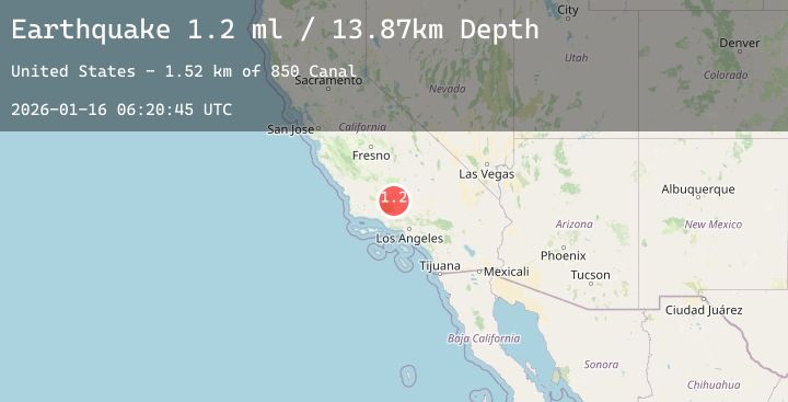
Earthquake 8 km NE of Grapevine, CA
Fri, 16 Jan 2026 06:20:45 GMT
Time3 hours ago
Location
34.9967, -118.8685
Depth
13.7 KM
Event Summary
A 1.1 magnitude earthquake struck on 8 km NE of Grapevine, CA, at Fri, 16 Jan 2026 06:20:45 GMT. Depth: 13.67km. Reviewed by USGS seismologists, this minor quake occurred at a magnitude type of ml.
Magnitude
1.1
ml
Source
USGS
Intensity
-
Agency Reports
1 Sources| Source | Magnitude | Depth | Time |
|---|---|---|---|
| USGSPrimary | 1.1 | 14 km | 3 hours ago |
Earthquake Details
AutomaticEvent IDusgs_ci41159519
Tsunami PotentialNo
Magnitude Typeml
Nearest Places
- Grapevine Creek1.4 km
- 850 Canal2.0 km
- Pastoria Creek3.6 km
- Tejon Oil Field3.6 km
- Tejon Ag Airport4.1 km
Comments
Join the discussion about this event.
Latest Earthquakes
2.1Mag
ISLAND OF HAWAII, HAWAII
Time6 minutes ago
Depth28.20 km
SourceHV (Automatic)
1.3Mag
20 km SE of Midland, Texas
Time13 minutes ago
Depth4.50 km
SourceUSGS (Automatic)
2.8Mag
Java, Indonesia
Time16 minutes ago
Depth10.04 km
SourceBMKG (Automatic)
2.1Mag
Sumbawa Region, Indonesia
Time17 minutes ago
Depth15.05 km
SourceBMKG (Automatic)
2.3Mag
MONA PASSAGE, PUERTO RICO
Time30 minutes ago
Depth19.60 km
SourcePR (Automatic)
Nearby Earthquakes
1.8Mag
4 km WNW of Frazier Park, CA
Time9 hours ago
Depth8.84 km
SourceUSGS (Automatic)
1.4Mag
13 km SE of Tehachapi, CA
Time13 hours ago
Depth0.46 km
SourceUSGS (Automatic)
1.5Mag
11 km SSW of Valencia, CA
Time19 hours ago
Depth9.90 km
SourceUSGS (Automatic)
1.2Mag
5 km N of Oak Park, CA
Time23 hours ago
Depth14.25 km
SourceUSGS (Automatic)