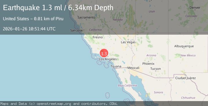
Earthquake 11 km N of Piru, CA
Mon, 26 Jan 2026 10:51:44 GMT
Time22 hours ago
Location
34.5153, -118.7982
Depth
6.3 KM
Event Summary
A 1.3 magnitude earthquake struck on 11 km N of Piru, CA, at Mon, 26 Jan 2026 10:51:44 GMT. Depth: 6.34000015258789km. Reviewed by USGS seismologists, this minor quake occurred at a magnitude type of ml.
Magnitude
1.3
ml
Source
USGS
Intensity
-
Agency Reports
1 Sources| Source | Magnitude | Depth | Time |
|---|---|---|---|
| USGSPrimary | 1.3 | 6 km | 22 hours ago |
Earthquake Details
AutomaticEvent IDusgs_ci41172575
Tsunami PotentialNo
Magnitude Typeml
Nearest Places
- Pothole Trail2.0 km
- The Pothole2.1 km
- Devils Potrero2.5 km
- Pothole Spring3.1 km
- Hollister3.1 km
Comments
Join the discussion about this event.
Latest Earthquakes
4.3Mag
Sulawesi, Indonesia
Time11 hours ago
Depth10.00 km
SourceBMKG (Automatic)
2.6Mag
Minahassa Peninsula, Sulawesi
Time12 hours ago
Depth118.00 km
SourceBMKG (Automatic)
2.8Mag
South of Bali, Indonesia
Time12 hours ago
Depth10.00 km
SourceBMKG (Automatic)
1.7Mag
31 km SE of Denali National Park, Alaska
Time12 hours ago
Depth0.60 km
SourceUSGS (Automatic)
2.2Mag
WESTERN TURKEY
Time12 hours ago
Depth14.90 km
SourceKOERI (Automatic)
Nearby Earthquakes
2.2Mag
SOUTHERN CALIFORNIA
Time1 day ago
Depth11.90 km
SourceSCSN (Automatic)
1.8Mag
14 km S of Frazier Park, CA
Time3 days ago
Depth15.39 km
SourceUSGS (Automatic)
1.8Mag
7 km W of Oxnard, CA
Time2 days ago
Depth4.15 km
SourceUSGS (Automatic)
1.3Mag
8 km NE of La Crescenta-Montrose, CA
Time2 days ago
Depth8.25 km
SourceUSGS (Automatic)
1.7Mag
5 km S of Carpinteria, CA
Time1 day ago
Depth3.45 km
SourceUSGS (Automatic)