Earthquake 10 km WSW of Pine Valley, CA
Thu, 29 Jan 2026 09:14:47 GMT
Time1 hour ago
Location
32.8030, -116.6293
Depth
18.2 KM
Event Summary
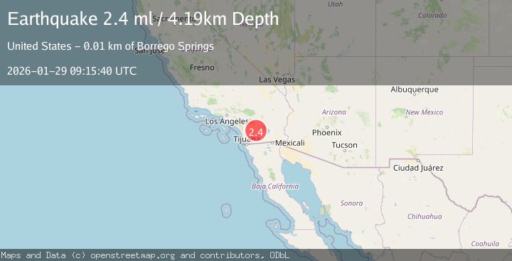
A 2.4 magnitude earthquake struck on 10 km WSW of Pine Valley, CA, at Thu, 29 Jan 2026 09:14:47 GMT. Depth: 18.2199993133545km. Reviewed by USGS seismologists, this minor quake occurred at a magnitude type of ml.
Magnitude
2.4
ml
Source
USGS
Intensity
-
Agency Reports
2 Sources| Source | Magnitude | Depth | Time |
|---|---|---|---|
| USGSPrimary | 2.4 | 4 km | 1 hour ago |
| SCSN | 2.4 | 4 km | 1 hour ago |
Earthquake Details
AutomaticEvent IDusgs_ci41175495
Tsunami PotentialNo
Magnitude Typeml
Nearest Places
- Carl Spring0.4 km
- Horsethief Ridge Trail1.4 km
- Ajax Prospect1.5 km
- Laguna-Pine Valley1.7 km
- Nelson Canyon2.1 km
Comments
Join the discussion about this event.
Latest Earthquakes
2.4Mag
FRANCE
Time6 minutes ago
Depth5.00 km
SourceReNaSS (Automatic)
2.1Mag
FRANCE
Time9 minutes ago
Depth0.00 km
SourceReNaSS (Automatic)
2.2Mag
Minahassa Peninsula, Sulawesi
Time12 minutes ago
Depth242.30 km
SourceBMKG (Automatic)
2.2Mag
FRANCE
Time25 minutes ago
Depth5.00 km
SourceReNaSS (Automatic)
2.1Mag
OKLAHOMA
Time32 minutes ago
Depth4.00 km
SourceOK (Automatic)
Nearby Earthquakes
1.4Mag
10 km WSW of Pine Valley, CA
Time5 days ago
Depth18.80 km
SourceUSGS (Automatic)
1.1Mag
9 km WSW of Pine Valley, CA
Time4 days ago
Depth19.15 km
SourceUSGS (Automatic)
1.4Mag
10 km W of Pine Valley, CA
Time3 days ago
Depth17.79 km
SourceUSGS (Automatic)
1.4Mag
9 km WSW of Pine Valley, CA
Time15 hours ago
Depth-0.71 km
SourceUSGS (Automatic)
1.5Mag
9 km W of Pine Valley, CA
Time6 days ago
Depth17.19 km
SourceUSGS (Automatic)