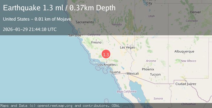
Earthquake 14 km W of Mojave, CA
Thu, 29 Jan 2026 21:44:10 GMT
Time1 hour ago
Location
35.0448, -118.3233
Depth
0.4 KM
Event Summary
A 1.3 magnitude earthquake struck on 14 km W of Mojave, CA, at Thu, 29 Jan 2026 21:44:10 GMT. Depth: 0.370000004768372km. Reviewed by USGS seismologists, this minor quake occurred at a magnitude type of ml.
Magnitude
1.3
ml
Source
USGS
Intensity
-
Agency Reports
1 Sources| Source | Magnitude | Depth | Time |
|---|---|---|---|
| USGSPrimary | 1.3 | 0 km | 1 hour ago |
Earthquake Details
AutomaticEvent IDusgs_ci41175847
Tsunami PotentialNo
Magnitude Typeml
Nearest Places
- Oak Creek Canyon3.2 km
- Cameron Valley School (historical)3.6 km
- KTPI-FM (Tehachapi)5.4 km
- Cameron Canyon5.9 km
- Sand Canyon6.0 km
Comments
Join the discussion about this event.
Latest Earthquakes
2.6Mag
ANTOFAGASTA, CHILE
Time7 minutes ago
Depth66.10 km
SourceCSN (Automatic)
3.0Mag
NORTH ISLAND OF NEW ZEALAND
Time11 minutes ago
Depth16.90 km
SourceGNS (Automatic)
2.8Mag
SAN JUAN, ARGENTINA
Time14 minutes ago
Depth88.00 km
SourceNSNA (Automatic)
4.1Mag
SOUTHERN YUKON TERRITORY, CANADA
Time20 minutes ago
Depth0.50 km
SourceAK (Automatic)
3.3Mag
ISLAND OF HAWAII, HAWAII
Time21 minutes ago
Depth7.40 km
SourceHV (Automatic)
Nearby Earthquakes
1.2Mag
7 km S of Mojave, CA
Time2 days ago
Depth-0.84 km
SourceUSGS (Automatic)
1.7Mag
6 km S of Mojave, CA
Time1 week ago
Depth7.87 km
SourceUSGS (Automatic)
1.8Mag
11 km NNW of Mojave, CA
Time3 days ago
Depth8.60 km
SourceUSGS (Automatic)
1.9Mag
19 km NW of Tehachapi, CA
Time5 days ago
Depth3.26 km
SourceUSGS (Automatic)
1.7Mag
20 km ENE of Arvin, CA
Time2 days ago
Depth5.64 km
SourceUSGS (Automatic)