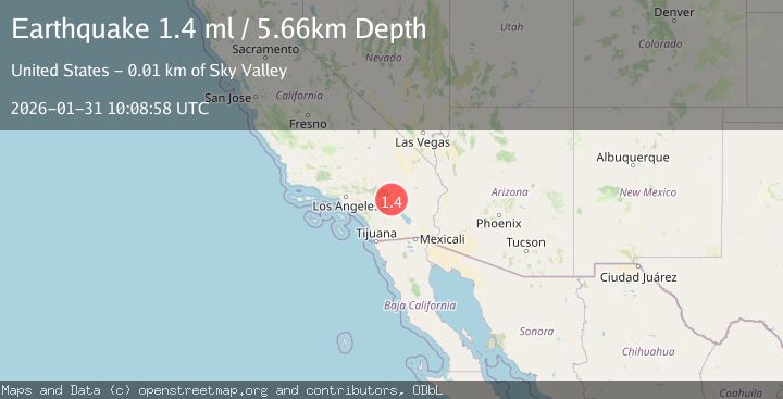
Earthquake 12 km E of Desert Hot Springs, CA
Sat, 31 Jan 2026 10:08:58 GMT
Time1 hour ago
Location
33.9488, -116.3732
Depth
5.7 KM
Event Summary
A 1.4 magnitude earthquake struck on 12 km E of Desert Hot Springs, CA, at Sat, 31 Jan 2026 10:08:58 GMT. Depth: 5.65999984741211km. Reviewed by USGS seismologists, this minor quake occurred at a magnitude type of ml.
Magnitude
1.4
ml
Source
USGS
Intensity
-
Agency Reports
1 Sources| Source | Magnitude | Depth | Time |
|---|---|---|---|
| USGSPrimary | 1.4 | 6 km | 1 hour ago |
Earthquake Details
AutomaticEvent IDusgs_ci41177159
Tsunami PotentialNo
Magnitude Typeml
Nearest Places
Comments
Join the discussion about this event.
Latest Earthquakes
1.2Mag
10 km WSW of Stanton, Texas
Time9 minutes ago
Depth3.88 km
SourceUSGS (Automatic)
2.8Mag
POTOSI, BOLIVIA
Time18 minutes ago
Depth272.60 km
SourceCSN (Automatic)
0.7Mag
6 km NW of The Geysers, CA
Time21 minutes ago
Depth2.11 km
SourceUSGS (Automatic)
2.7Mag
Near North Coast of West Papua
Time23 minutes ago
Depth22.48 km
SourceBMKG (Automatic)
1.3Mag
WESTERN TURKEY
Time26 minutes ago
Depth14.70 km
SourceAFAD (Automatic)
Nearby Earthquakes
1.1Mag
12 km ENE of Desert Hot Springs, CA
Time1 day ago
Depth5.24 km
SourceUSGS (Automatic)
1.6Mag
21 km ENE of Thousand Palms, CA
Time1 day ago
Depth1.84 km
SourceUSGS (Automatic)
1.5Mag
20 km N of Indio, CA
Time1 week ago
Depth-0.74 km
SourceUSGS (Automatic)
2.0Mag
SOUTHERN CALIFORNIA
Time1 week ago
Depth2.40 km
SourceSCSN (Automatic)
1.1Mag
17 km N of Indio, CA
Time20 hours ago
Depth9.39 km
SourceUSGS (Automatic)