Earthquake 19 km NNW of Borrego Springs, CA
Wed, 18 Feb 2026 09:06:14 GMT
Time3 hours ago
Location
33.4122, -116.4517
Depth
13.4 KM
Event Summary
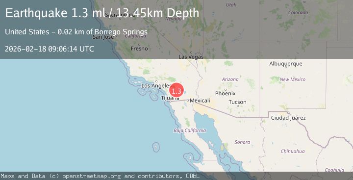
A 1.3 magnitude earthquake struck on 19 km NNW of Borrego Springs, CA, at Wed, 18 Feb 2026 09:06:14 GMT. Depth: 13.4499998092651km. Reviewed by USGS seismologists, this minor quake occurred at a magnitude type of ml.
Magnitude
1.3
ml
Source
USGS
Intensity
-
Agency Reports
1 Sources| Source | Magnitude | Depth | Time |
|---|---|---|---|
| USGSPrimary | 1.3 | 13 km | 3 hours ago |
Earthquake Details
AutomaticEvent IDusgs_ci41187487
Tsunami PotentialNo
Magnitude Typeml
Nearest Places
- Monkey Hill1.7 km
- Anza Trail2.5 km
- Salvador Canyon2.9 km
- Collins Valley3.3 km
- Middle Willows3.5 km
Comments
Join the discussion about this event.
Latest Earthquakes
2.3Mag
Tarapaca, Chile
Time3 hours ago
Depth114.14 km
SourceVYT (Automatic)
2.1Mag
Southern Alaska
Time3 hours ago
Depth67.26 km
SourceVYT (Automatic)
2.2Mag
western Russia
Time3 hours ago
Depth0.00 km
SourceVYT (Automatic)
1.5Mag
4 km NNW of The Geysers, CA
Time3 hours ago
Depth-0.27 km
SourceUSGS (Automatic)
1.0Mag
9 km WNW of Two Rivers, Alaska
Time3 hours ago
Depth5.70 km
SourceUSGS (Automatic)
Nearby Earthquakes
1.0Mag
18 km NNW of Borrego Springs, CA
Time1 week ago
Depth14.33 km
SourceUSGS (Automatic)
5.2Mag
SOUTHERN CALIFORNIA
Time9 years ago
Depth1.00 km
SourceNEIC (Automatic)
1.1Mag
19 km NNW of Borrego Springs, CA
Time1 week ago
Depth2.40 km
SourceUSGS (Automatic)
5.4Mag
SOUTHERN CALIFORNIA
Time15 years ago
Depth14.00 km
SourceNEIC (Automatic)
3.0Mag
SOUTHERN CALIFORNIA
Time5 years ago
Depth11.00 km
SourceNEIR (Automatic)