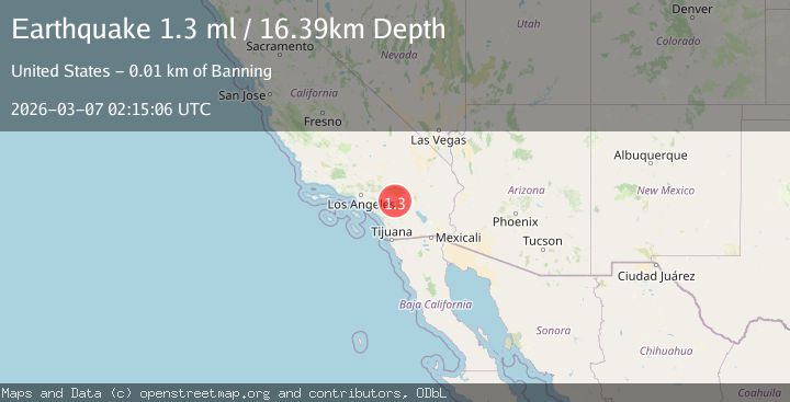
Earthquake 9 km S of Banning, CA
Sat, 07 Mar 2026 02:15:06 GMT
Time2 hours ago
Location
33.8460, -116.8597
Depth
16.4 KM
Event Summary
A 1.3 magnitude earthquake struck on 9 km S of Banning, CA, at Sat, 07 Mar 2026 02:15:06 GMT. Depth: 16.3899993896484km. Reviewed by USGS seismologists, this minor quake occurred at a magnitude type of ml.
Magnitude
1.3
ml
Source
USGS
Intensity
-
Agency Reports
1 Sources| Source | Magnitude | Depth | Time |
|---|---|---|---|
| USGSPrimary | 1.3 | 16 km | 2 hours ago |
Earthquake Details
AutomaticEvent IDusgs_ci41199119
Tsunami PotentialNo
Magnitude Typeml
Nearest Places
- 0.3 km
- 0.8 km
- 1.2 km
- 2.1 km
- 3.0 km
Comments
Join the discussion about this event.
Latest Earthquakes
No recent earthquakes available
Nearby Earthquakes
1.1Mag
3 km NE of Loma Linda, CA
Time46 minutes ago
Depth8.66 km
SourceUSGS (Automatic)
0.4Mag
4 km W of Lake Henshaw, CA
Time1 hour ago
Depth13.12 km
SourceUSGS (Automatic)
1.0Mag
7 km NNW of Borrego Springs, CA
Time2 hours ago
Depth11.29 km
SourceUSGS (Automatic)
0.5Mag
9 km ENE of Borrego Springs, CA
Time2 hours ago
Depth11.24 km
SourceUSGS (Automatic)
1.4Mag
9 km WSW of Corona, CA
Time3 hours ago
Depth3.71 km
SourceUSGS (Automatic)