Earthquake 12 km W of Calipatria, CA
Sat, 07 Mar 2026 09:42:17 GMT
Time2 hours ago
Location
33.1438, -115.6390
Depth
8.0 KM
Event Summary
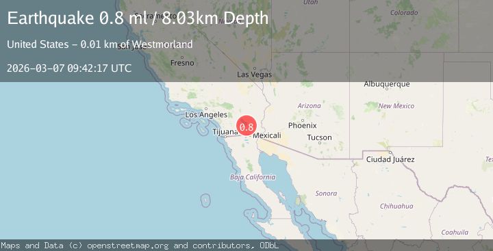
A 0.8 magnitude earthquake struck on 12 km W of Calipatria, CA, at Sat, 07 Mar 2026 09:42:17 GMT. Depth: 8.03km. Reviewed by USGS seismologists, this minor quake occurred at a magnitude type of ml.
Magnitude
0.8
ml
Source
USGS
Intensity
-
Agency Reports
1 Sources| Source | Magnitude | Depth | Time |
|---|---|---|---|
| USGSPrimary | 0.8 | 8 km | 2 hours ago |
Earthquake Details
AutomaticEvent IDusgs_ci41199399
QualityS
Tsunami PotentialNo
Magnitude Typeml
Last Update2 hours ago
Used Stations24
Nearest Places
- 0.3 km
- 0.8 km
- 0.9 km
- 1.3 km
- 1.7 km
Comments
Join the discussion about this event.
Latest Earthquakes
Loading...
Nearby Earthquakes
1.0Mag
26 km SSW of Ocotillo Wells, CA
Time2 hours ago
Depth9.50 km
SourceUSGS (Automatic)
0.6Mag
20 km SW of Ocotillo Wells, CA
Time3 hours ago
Depth6.98 km
SourceUSGS (Automatic)
1.3Mag
15 km N of Warner Springs, CA
Time4 hours ago
Depth6.80 km
SourceUSGS (Automatic)
1.2Mag
14 km ENE of Ocotillo, CA
Time7 hours ago
Depth5.55 km
SourceUSGS (Automatic)
1.0Mag
7 km NNW of Borrego Springs, CA
Time9 hours ago
Depth11.29 km
SourceUSGS (Automatic)