Earthquake 21 km SSW of La Quinta, CA
Wed, 29 Apr 2026 10:34:21 GMT
Time10 hours ago
Location
33.4837, -116.3948
Depth
9.7 KM
Event Summary
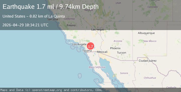
A 1.7 magnitude earthquake struck on 21 km SSW of La Quinta, CA, at Wed, 29 Apr 2026 10:34:21 GMT. Depth: 9.73999977111816km. Reviewed by USGS seismologists, this minor quake occurred at a magnitude type of ml.
Magnitude
1.7
ml
Source
USGS
Intensity
-
Agency Reports
1 Sources| Source | Magnitude | Depth | Time |
|---|---|---|---|
| USGSPrimary | 1.7 | 10 km | 10 hours ago |
Earthquake Details
AutomaticEvent IDusgs_ci41236751
QualityS
Tsunami PotentialNo
Magnitude Typeml
Last Update10 hours ago
Used Stations82
Felt Reports0
Did you feel this earthquake? Report it to help others.
No reports yet
Be the first to report this earthquake!
Latest Earthquakes
Loading...
Nearby Earthquakes
0.4Mag
8 km N of Anza, CA
Time9 hours ago
Depth11.87 km
SourceUSGS (Automatic)
0.7Mag
13 km NE of Thousand Palms, CA
Time10 hours ago
Depth6.50 km
SourceUSGS (Automatic)
1.0Mag
12 km N of Borrego Springs, CA
Time11 hours ago
Depth12.39 km
SourceUSGS (Automatic)
1.2Mag
20 km ESE of Anza, CA
Time11 hours ago
Depth14.93 km
SourceUSGS (Automatic)
1.1Mag
5 km SSW of Redlands, CA
Time11 hours ago
Depth6.20 km
SourceUSGS (Automatic)